

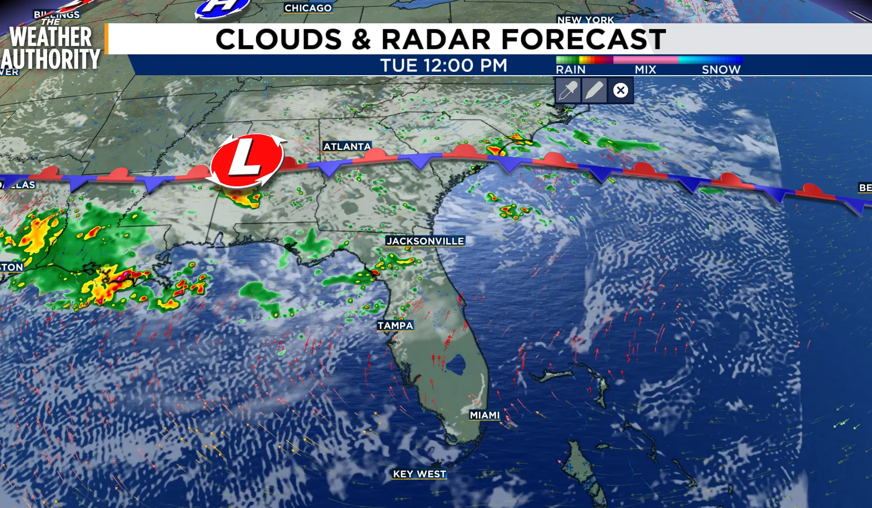
A few light showers are winding down along the State line. The early onset of today’s storms will keep our overnight and early morning temperatures comfortably cool. The heat returns tomorrow along with another round of showers and thunderstorms.
The summertime pattern will continue through Wednesday as the southwest wind and a lingering frontal boundary bring rounds of rain and thunderstorms, some of which may be locally heavy. The active sea breeze will allow for an earlier start along I-75, with storms possible as early as 11 a.m. Current model timing brings the storms to our area as early as 1 p.m.
Rain chances will return to our normal summer levels of 20 - 30 percent Thursday and Friday as the heat and humidity continue.
Tonight: Showers with thunderstorms through early evening, with light rain through 7 - 8 p.m. Partial clearing late.
Tuesday: Afternoon showers and thunderstorms will start as early as noon near and along I-75 and then spread east through early evening, with a 70 - 80 percent chance. Locally heavy rain, gusty winds, and lightning will be the main hazards. Lows in the 70s. Afternoon highs in the 80s and low 90s. Wind: SW 5-15 mph.

Looking ahead: Rain with thunderstorms Wednesday, then partly cloudy skies and scattered showers with storms through Friday.
Tropics: Tropical activity is not expected over the next 7 days in the Atlantic, Gulf, and Caribbean.
Sunrise: 6:34 p.m.
Sunset: 8:31 p.m.
