

Pumpkin spice and the weather is nice!
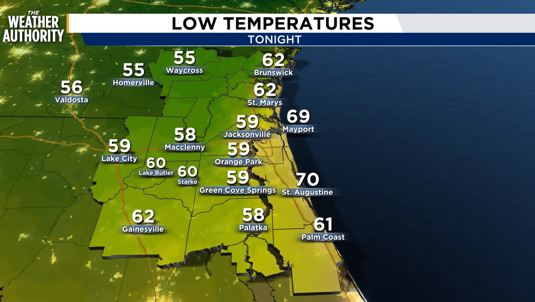
It’s time to clean last year’s ashes out of the fire pit and get ready for a new season of s’mores. Clearing skies and calming wind through the night will allow temperatures to fall into the 50s and 60s Saturday morning.
The weekend will start breezy and cool before becoming a little warmer with less wind on Sunday.
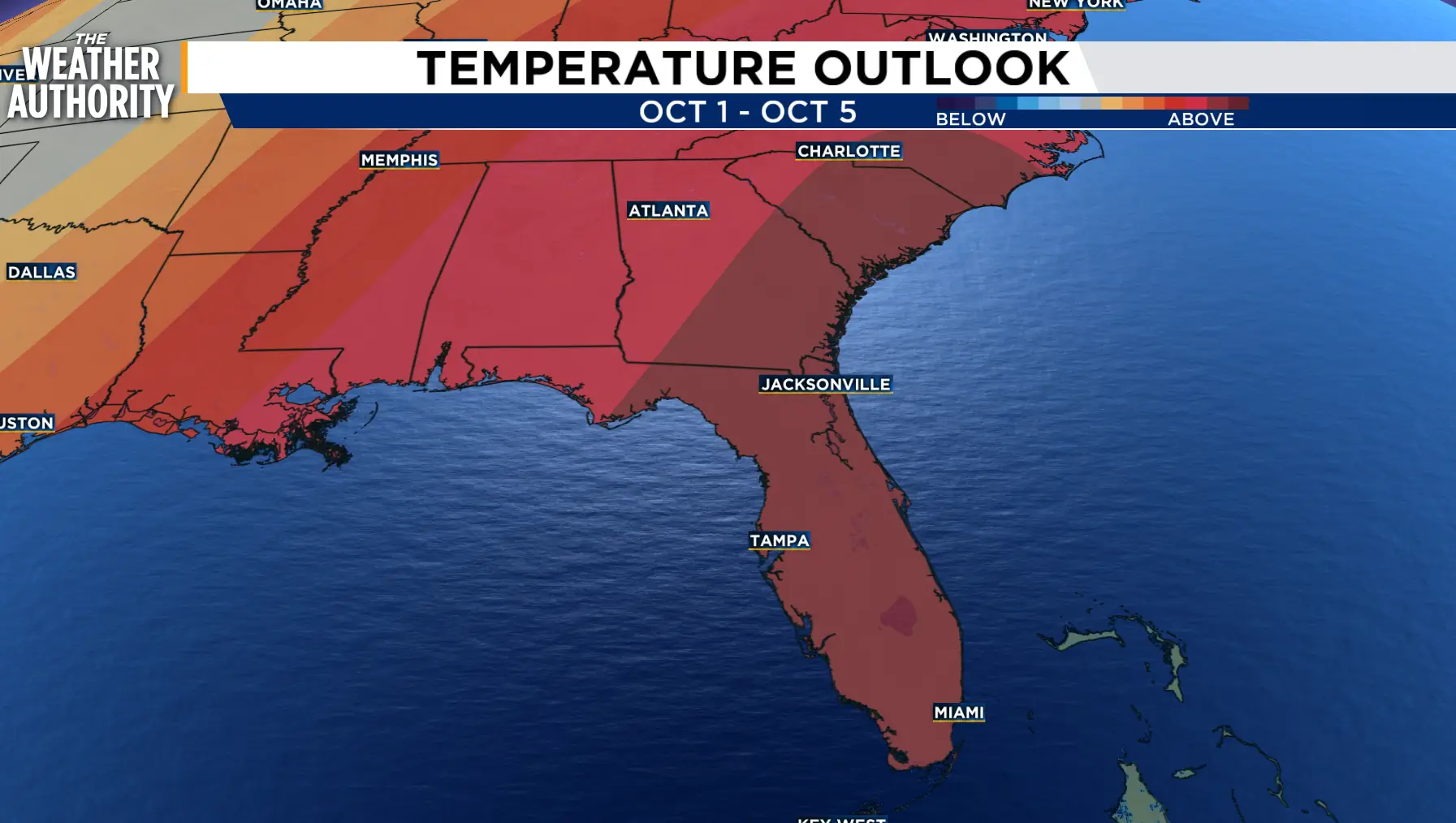
The humidity will return next week with sea breeze showers and storms possible as the temperatures climb to slightly above seasonal norms.
Coastal and tidal flooding along the St. Johns River, Intracoastal, and the beaches will be possible at times of High Tide through Saturday morning. The lingering effect of the onshore wind and the King Tide could keep some flooding in St. Johns County and along the River through Sunday.
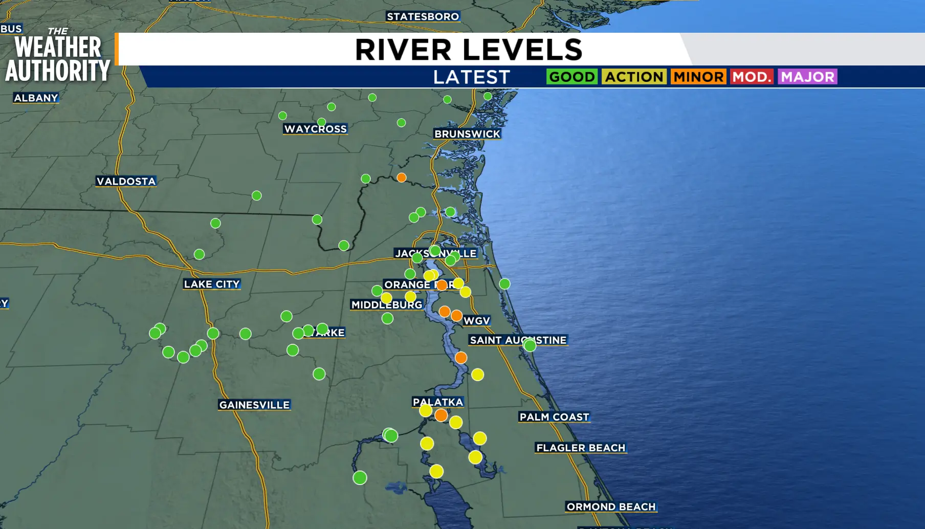
Tonight: Winds will continue to weaken as skies clear. Cooler temperatures overnight.
Saturday: Breezy and sunny. Morning lows in the 50s and 60s. Afternoon highs in the 70s to 80s. Mostly clear and cool overnight.
Sunday: A little warmer with light wind. Mostly clear with lows in the 50s and 60s. Partly cloudy with highs in the low to mid 80s. Mostly clear with patchy fog overnight.
Looking ahead: Warming next week with sea breeze showers and thunderstorms starting Wednesday.
Tropics: Tropical storm Fay holds on and Gonzalo remains steady.
Sunrise: 7:17 a.m.
Sunset: 7:18 p.m.
