

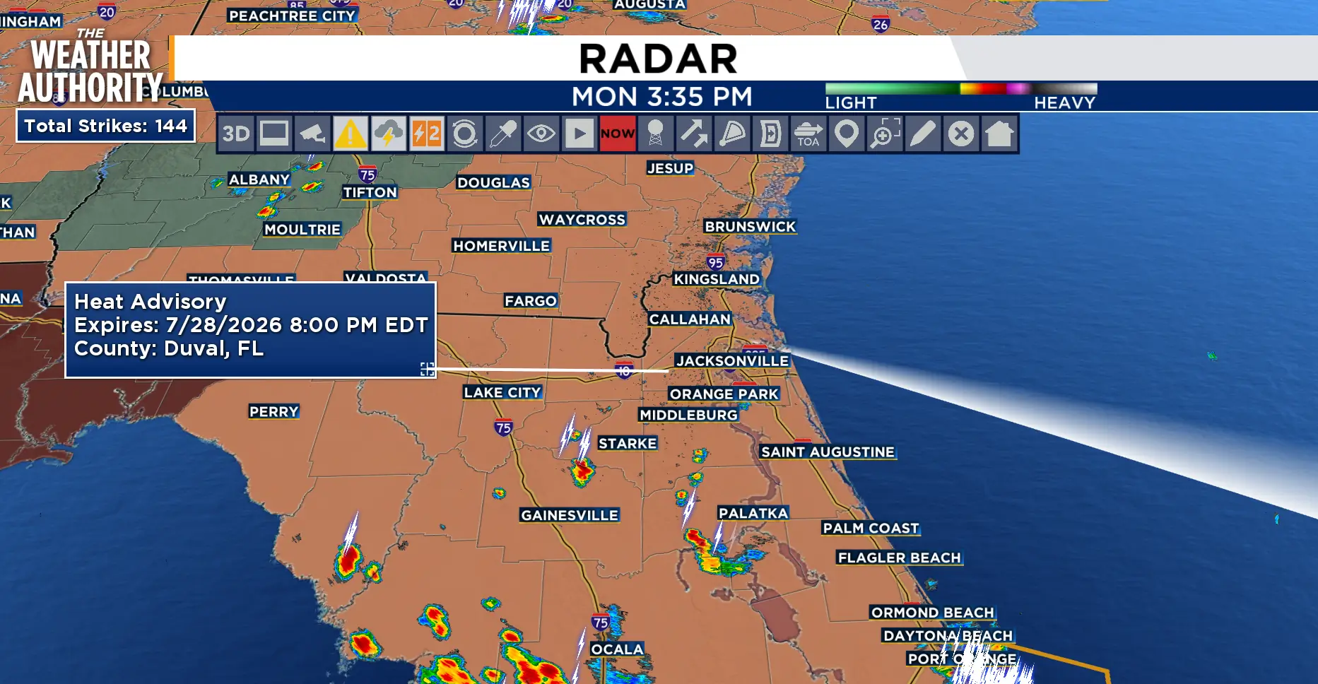
Isolated showers will be possible through 10 p.m.
Tuesday will be a drier day with another Heat Advisory from 11 a.m. - 8 p.m. It will feel hotter tomorrow with heat index values up to 112 degrees.

Isolated showers and thunderstorms on Tuesday will give way to widespread rain chances with strong to severe storms possible as a cold front slips across southeast Georgia and then stalls. This will keep widespread, elevated rain chances through Thursday.
The unsettled pattern continues Friday and this weekend. In addition to the needed rainfall, the earlier onset of the showers and storms will bring temperatures back to near normal, maybe a couple of degrees below normal. The rainfall deficit for this year is around 8 inches.
Tonight: Showers and thunderstorms will be possible through around 10 p.m.
Tuesday: Heat Advisory 11 a.m. - 8 p.m. Partly cloudy and hot. Mainly dry with afternoon rain chances around 20-30 percent. Lows in the upper 70s to low 80s. Afternoon highs in the mid to upper 90s. Feels Like temperatures 102 - 112 degrees.
Wednesday: Still hot with scattered showers and thunderstorms expected, 50-60 percent. Lows in the 70s to low 80s. Highs in the 90s. Feels Like temperatures 101-109 degrees.

Looking ahead: Rain chances will continue through the weekend. The heat will return to near normal as the waves of showers and storms move through.
Tropics: It’s quiet across the Atlantic basin.
Sunrise: 6:43 p.m.
Sunset: 8:24 p.m.
