

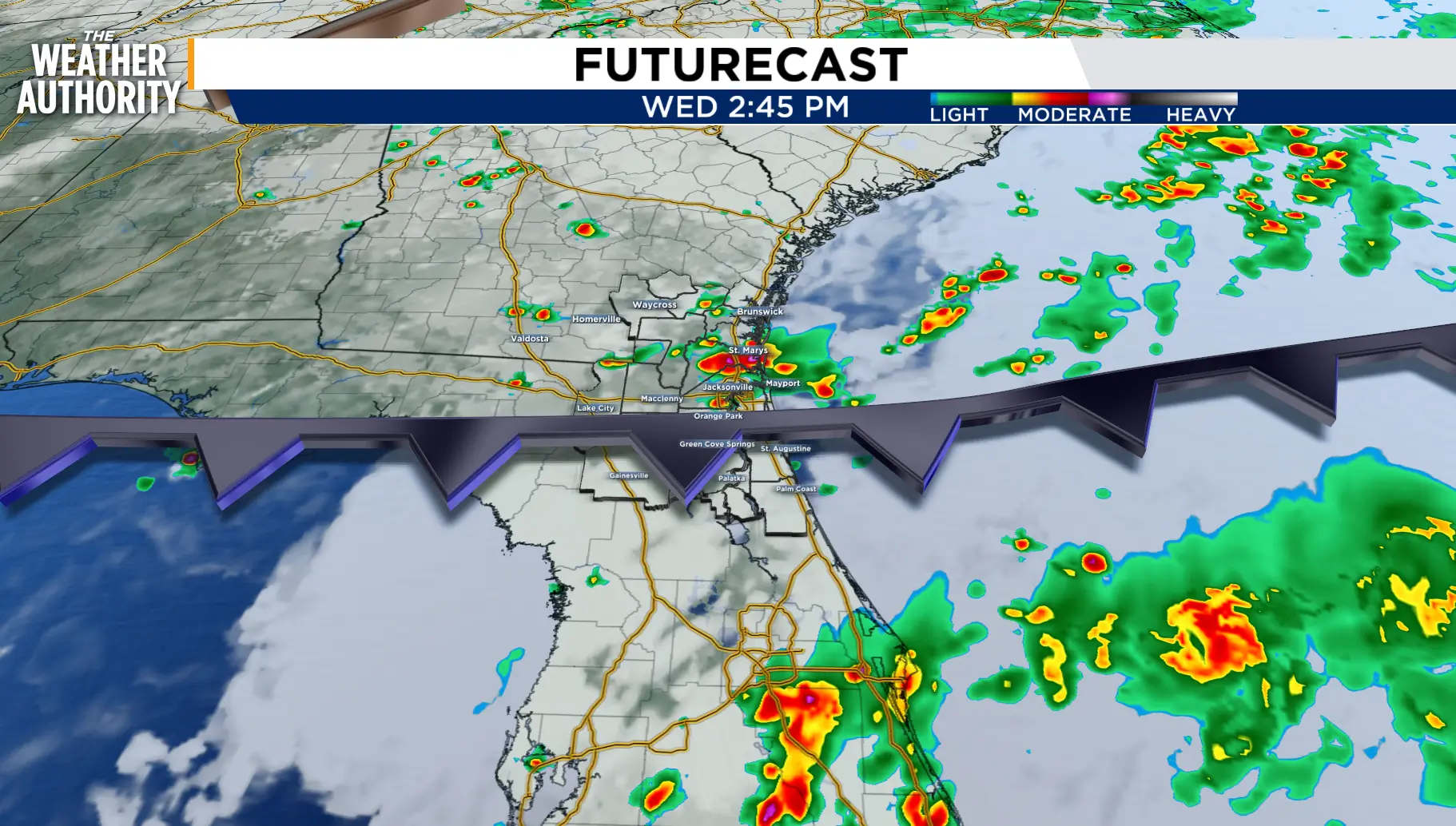
Fall weather and pumpkin spice goodness following an Atlantic blast and waves of coastal rain.
Scattered showers and isolated thunderstorms with heavy downpours will be possible along our beaches and I-95 through Thursday. Areas near Amelia City in Nassau County received 4-4.5 inches of rain within two hours.
The strengthening onshore winds will increase marine hazards through Saturday morning. A high risk for Rip Currents and rough surf will continue at all area
Beaches. Northeast winds of 20-30 mph and gusts of 35-45 mph will be possible through Thursday.
Minor coastal and tidal flooding along the St. Johns River will be possible at times of High Tide.
Behind the front, decreasing winds and cooler temperatures will move in Friday, bringing pleasant conditions through the weekend and the first of our morning lows in the upper 50s and 60s.
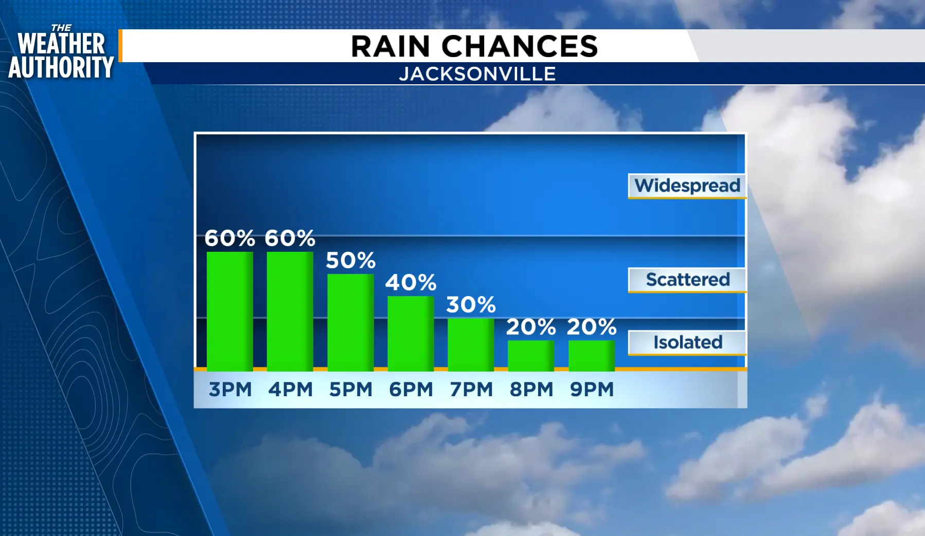
Tonight: Scattered showers with isolated storms through 7 p.m., with a chance of coastal showers overnight.
Thursday: Windy winds with coastal showers and thunderstorms, 30-50 percent, 20-30 percent inland. Morning lows in the upper 60s and 70s. Afternoon highs in the upper 70s to 80s. Decreasing wind and clouds overnight.
Friday: Not as windy with cooler morning lows and pleasant afternoon highs.
Weekend: Make plans to get outside!
Tropics: Fay is trying to reform and in the eastern Atlantic chances of formation are increasing. www.news4jax.com/weather/2026/09/23/fay-remnants-could-redevelop-into-tropical-depression/
Sunrise: 7:16 a.m.
Sunset: 7:21 p.m.
