


Daily rounds of showers and thunderstorms, some locally heavy.
The inland Flood watch has expired. Isolated showers will be possible through the night.
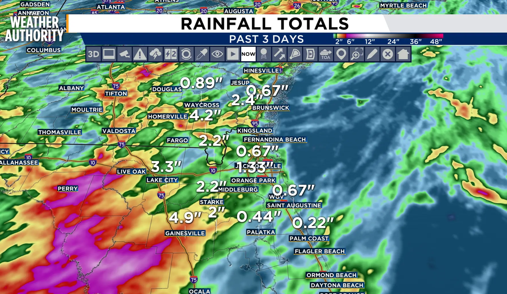
Daily rounds of showers and thunderstorms will continue this week with locally heavy rainfall possible. Flooding, damaging wind and lightning remain as the main hazards.
Tonight: Cloudy, showers possible.
Tuesday: Partly cloudy to mostly cloudy with a chance of showers and thunderstorms, 40-50 percent for NE FL, 20-40 percent for SE GA. Lows in the 70s. Afternoon highs in the low 90s inland, upper 80s to low 90s along the beaches. Wind: SW 5-15 mph.
Wednesday - Friday: The pattern continues with building afternoon clouds and rounds of showers and thunderstorms. Lows in the 70s. Afternoon highs in the low 90s inland, upper 80s to low 90s along the beaches. The wind will remain from the southwest through Thursday then switch to a southeasterly flow through the weekend.

Tropics: Models are hinting at potential development along the mid-Atlantic. The current forecast is no Tropical activity for the next 7 days.
Sunrise: 6:47 p.m.
Sunset: 8:19 p.m.
