

A broad, low-pressure circulation continues around Tropical Depression #2. Isolated showers and thunderstorms will be possible through the night as TD#2 slowly drifts west.
Wind and damage reports are coming in from northeast Florida and southeast Georgia. Wind gusts of 40 to 50 mph were reported across the area. There are multiple reports of tree and powerline damage in Clay and Duval counties in NE FL, as well as Ware and Pierce counties in SE GA.
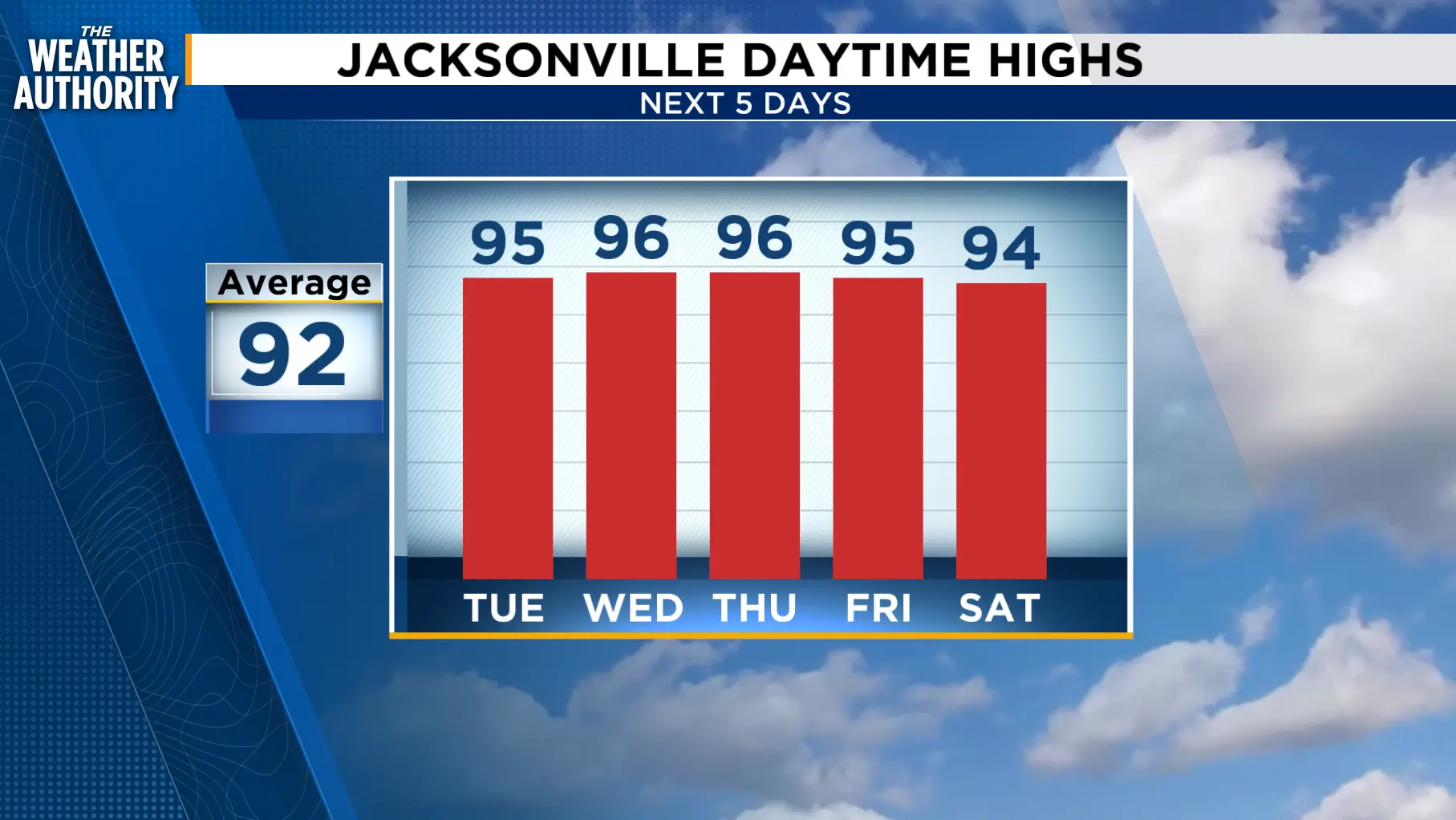
The summer heat continues with less storm coverage through Friday. Isolated activity will be possible as the sea breezes collide.
Rain chances increase this weekend as the southwest flow continues.
Tonight: Scattered showers with thunderstorms through around 11 p.m.
Tuesday: Breezy and hot with isolated showers and thunderstorms. Mainly dry with reduced storm coverage, 20-30 percent. Morning lows in the 70s to low 80s. Afternoon highs in the low to mid 90s inland, upper 80s to low 90s along the beaches. Wind: S 10-20 mph. Rain chance, 20-40 percent.
Wednesday - Friday: The summer pattern continues with hot and humid days and isolated afternoon showers and storms. Lows in the 70s to low 80s. Highs in the upper 80s to mid 90s.
Looking ahead: Scattered showers with thunderstorms return this weekend.
Tropics: Monitoring Tropical Depression #2. www.news4jax.com/weather/2026/07/20/tropical-depression-two-threatens-gulf-coast-early-this-week/
Sunrise: 6:38 p.m.
Sunset: 8:28 p.m.
