


Update: 9:00 Showers will end soon as they drift along the Atlantic sea breeze.
The pattern will continue through Friday with limited rain chances and coverage. Rain chances increase this weekend as moisture increases ahead of a weak front. Models show the approaching trough mingling with the Gulf and Atlantic sea breezes for scattered afternoon showers and thunderstorms.
The summer heat continues with possible Heat Advisories this weekend.
Tonight: Isolated showers with thunderstorms, mainly west and along Highway 301.
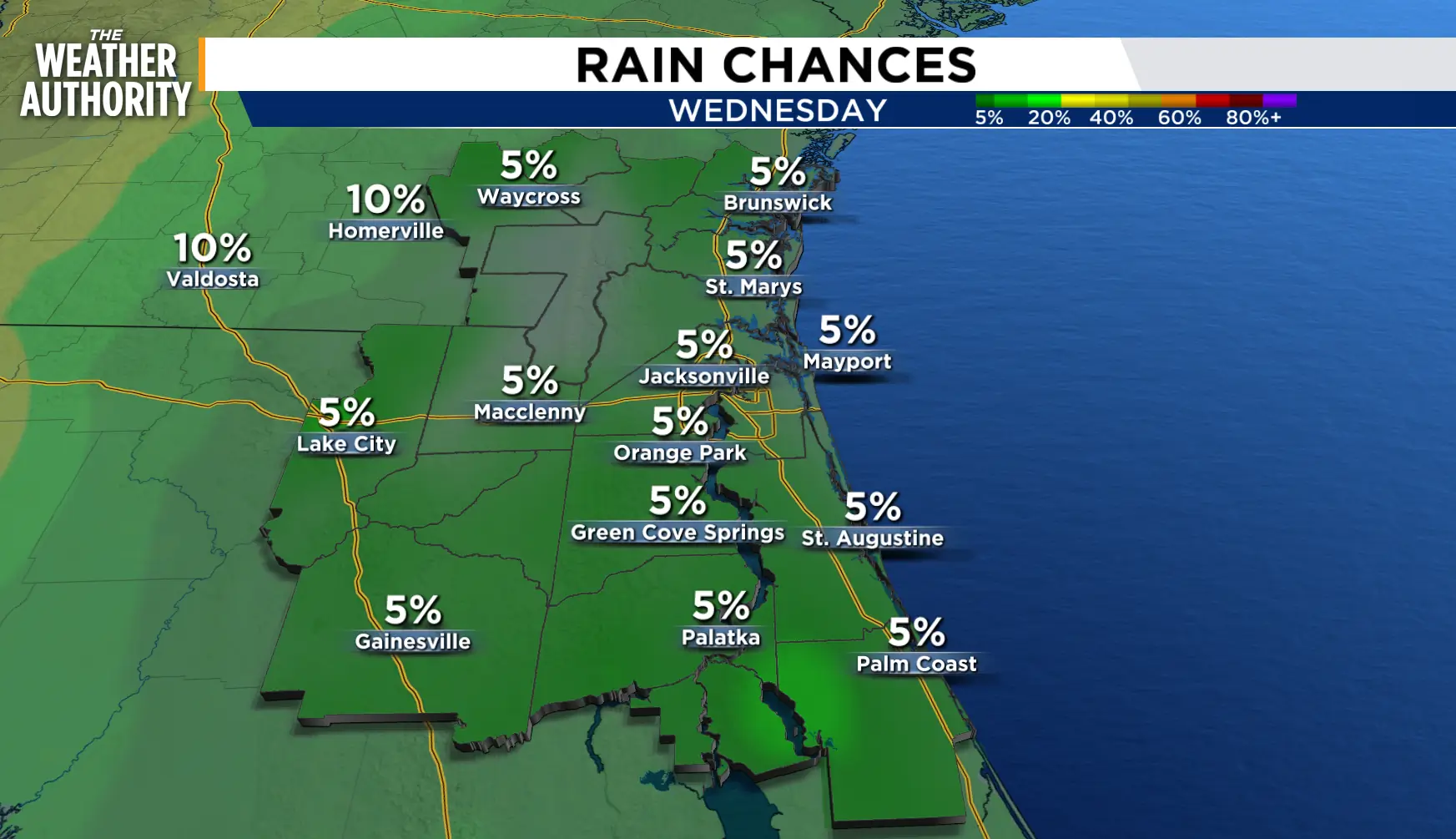
Wednesday: A steady southerly breeze as afternoon highs soar. Slight chance of showers, storms, 10 percent. Morning lows in the 70s to low 80s. Afternoon highs in the low to mid 90s inland, upper 80s to low 90s along the beaches. Feels Like temperatures 102-106 degrees Wind: S/SE 10-20 mph.
Thursday - Friday: The summer pattern continues with the heat and humidity combining for Feels Like temperatures in the 100s. Isolated showers and storms possible. Lows in the 70s to low 80s. Highs in the upper 80s to mid 90s.
Looking ahead: Scattered showers with thunderstorms return this weekend.
Tropics: Monitoring Tropical Storm Bertha. www.news4jax.com/weather/2026/07/21/tropical-storm-bertha-churns-toward-northern-gulf-coast-with-risk-of-heavy-rain-gusty-winds/
Sunrise: 6:39 p.m.
Sunset: 8:27 p.m.
