

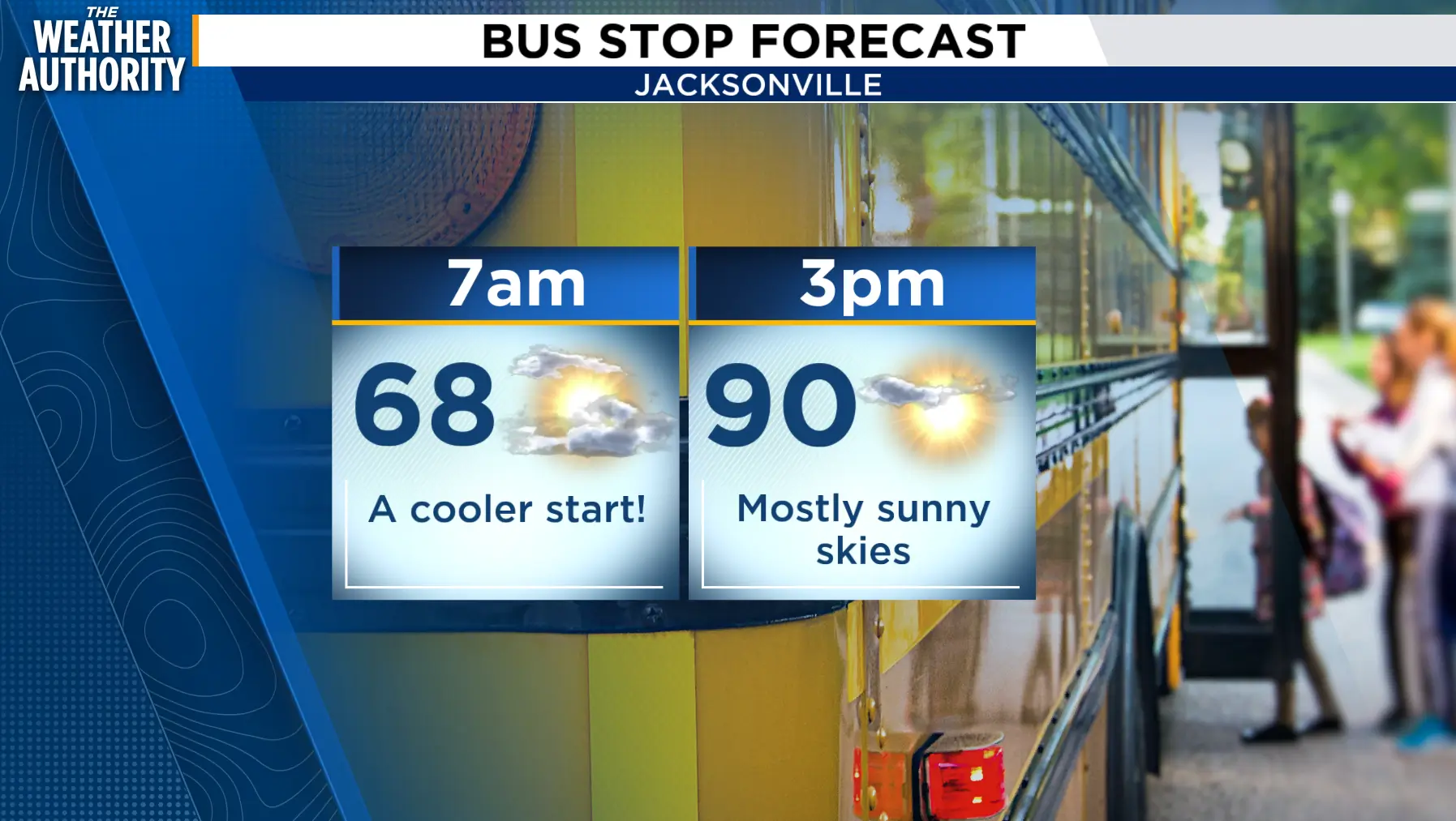
We’re starting off mostly cloudy and mild with temperatures in the upper 60s to low 70s. Today will be warm again with highs near 90. Rain chances stay low today, so most neighborhoods stay dry. Winds will be light early, then turn southeast around 5-10 mph by late morning and afternoon.
By Wednesday and Thursday, we bring back a 30% chance for afternoon showers and storms, mainly after 2 p.m. Highs will settle back into the upper 80s. The pattern stays pretty typical late week into the weekend: partly sunny, warm, humid, with scattered afternoon storms. Rain chances run around 40% Friday and Saturday, then increase to about 50% by Sunday.
Tropics: The Atlantic has two named storms, Fay and Hanna, but both are far out in the open Atlantic and no threat to Jacksonville or the First Coast. No local tropical impacts expected.
Bottom line: Hot and mainly dry today, then scattered afternoon storms return midweek through the weekend.
