

WEATHER ALERT

Atlantic blast brings heavy rain and coastal flood threats. Two-hour rain totals of 4.5 inches in Nassau County
Read full article: Atlantic blast brings heavy rain and coastal flood threats. Two-hour rain totals of 4.5 inches in Nassau CountyOnshore winds bring high rip current risk and 35-45 mph gusts through Thursday

2 days ago
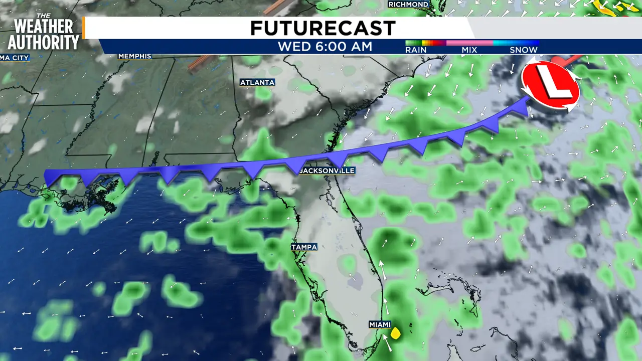
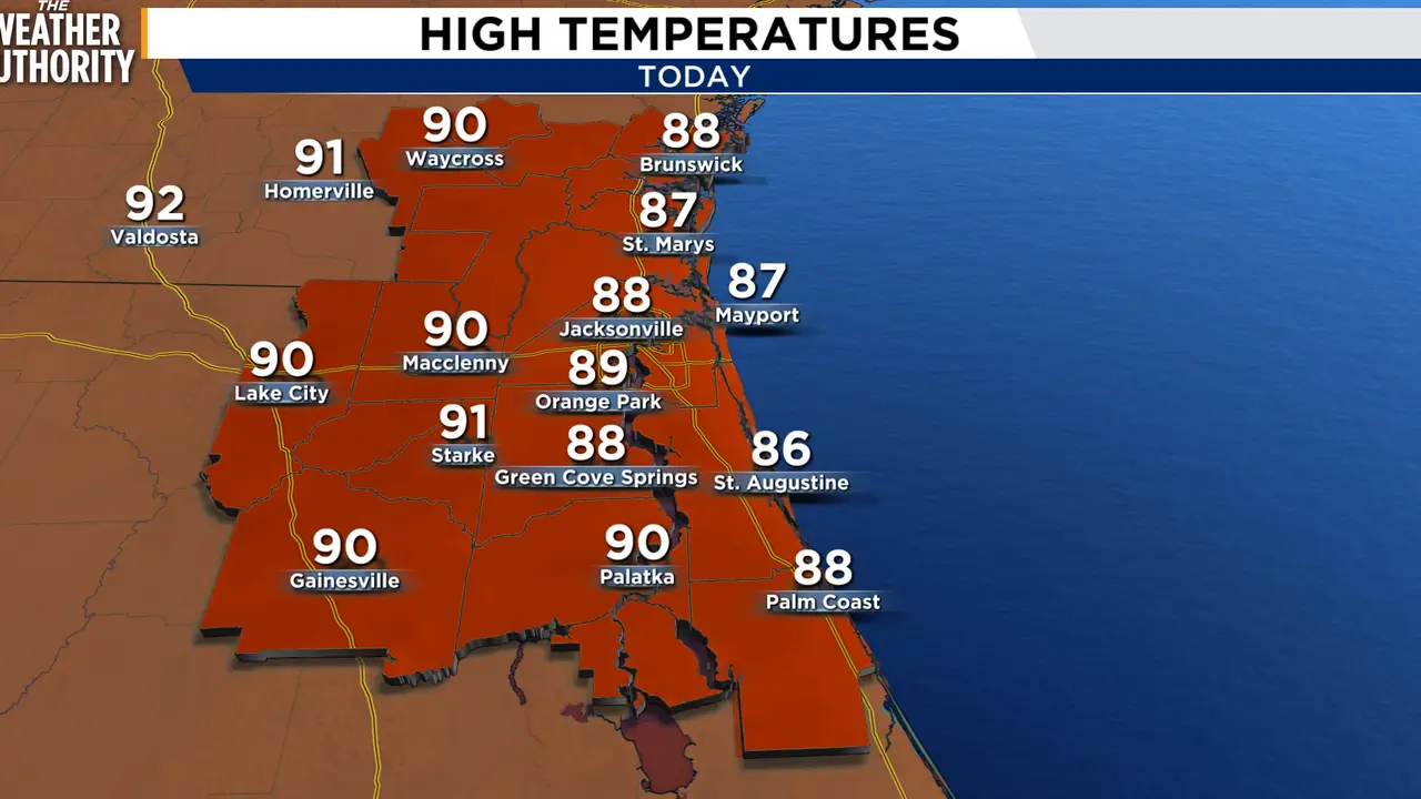
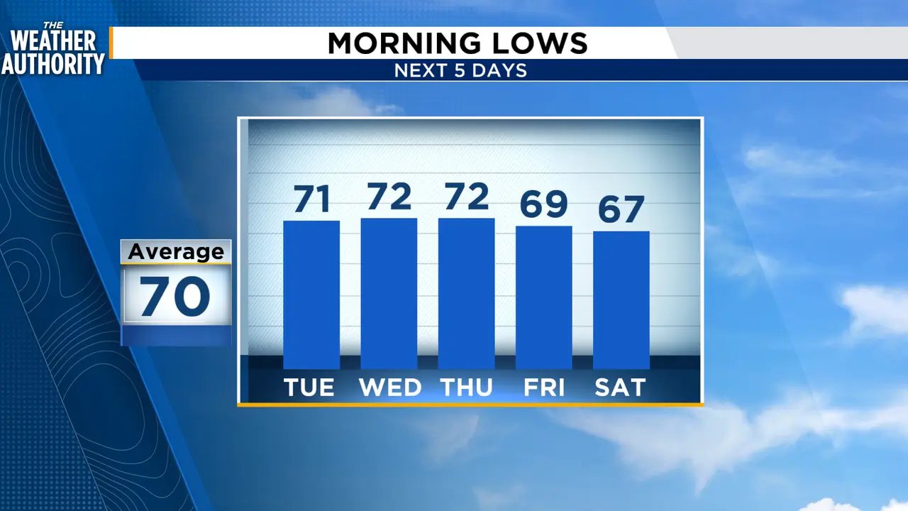
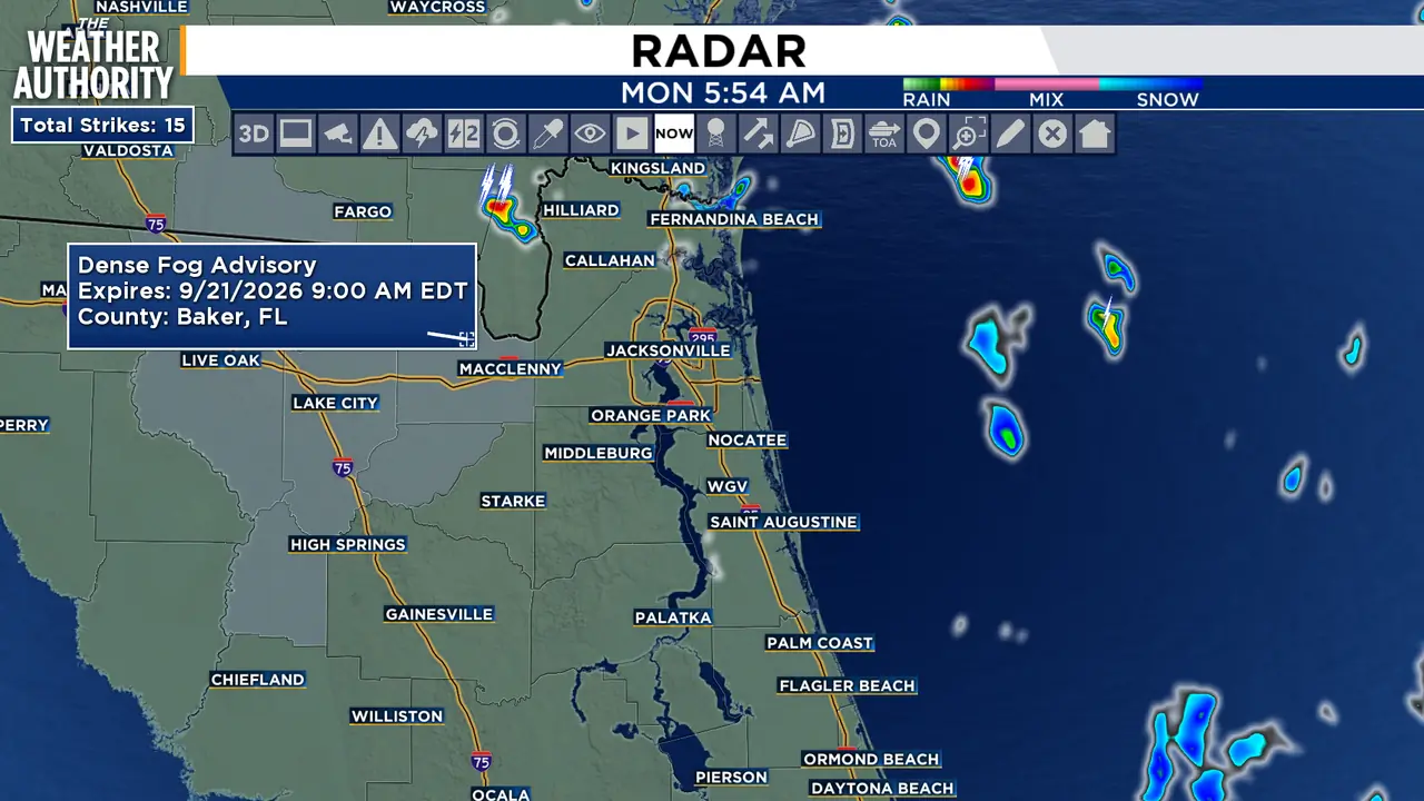
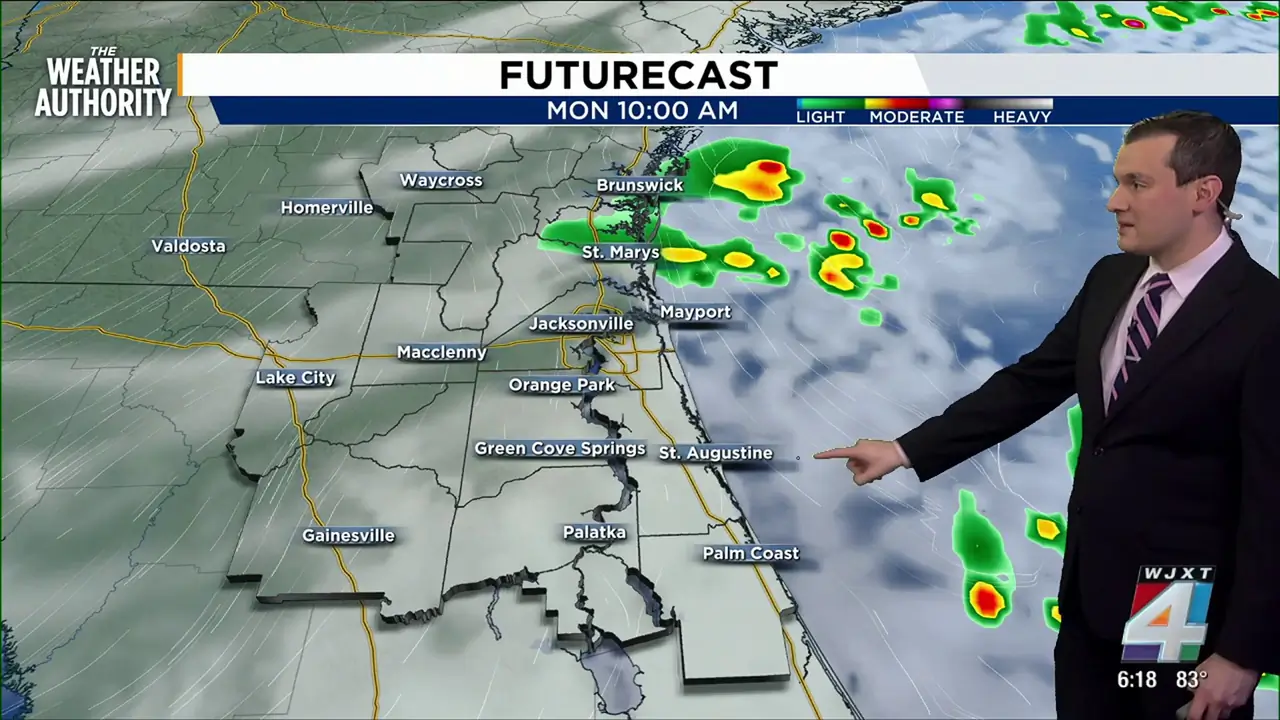
Breezy week ahead as offshore low strengthens
Read full article: Breezy week ahead as offshore low strengthensMonday will feature a partly to mostly cloudy sky with highs in the mid to upper 80s. Make sure to keep an eye to the sky and storms could develop rapidly. Activity will eventually dissipate later in the evening.

3 days ago
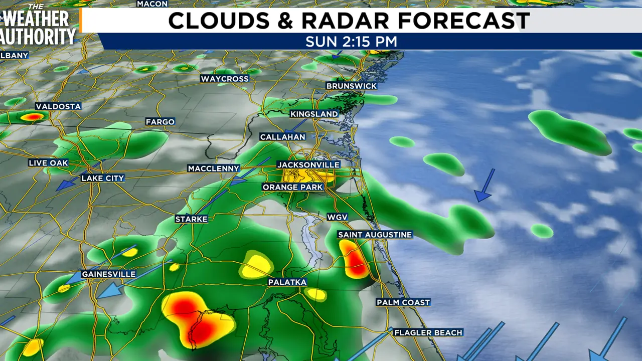
Showers and storms continue as warm, breezy conditions persist
Read full article: Showers and storms continue as warm, breezy conditions persistSunday will feature a partly to mostly cloudy sky with highs in the mid to upper 80s. Make sure to keep an eye to the sky and storms could develop rapidly. Activity will eventually dissipate later in the evening.

Scattered storms expected inland Southeast Georgia, Northeast Florida
Read full article: Scattered storms expected inland Southeast Georgia, Northeast FloridaScattered afternoon and early-evening thunderstorms are expected today across inland portions of northeast and north-central Florida, mainly along and west of the U.S. 301 corridor.
Be safe at the beach; rip currents are a danger this weekend
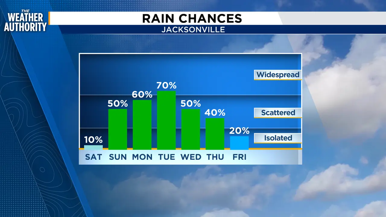
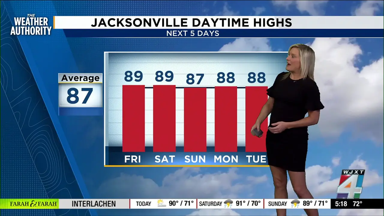
Read full article: Be safe at the beach; rip currents are a danger this weekendToday is sunny and breezy with a high near 89. A north wind early will turn northeast this afternoon, gusting up to 20-25 mph at times, especially closer to the coast.

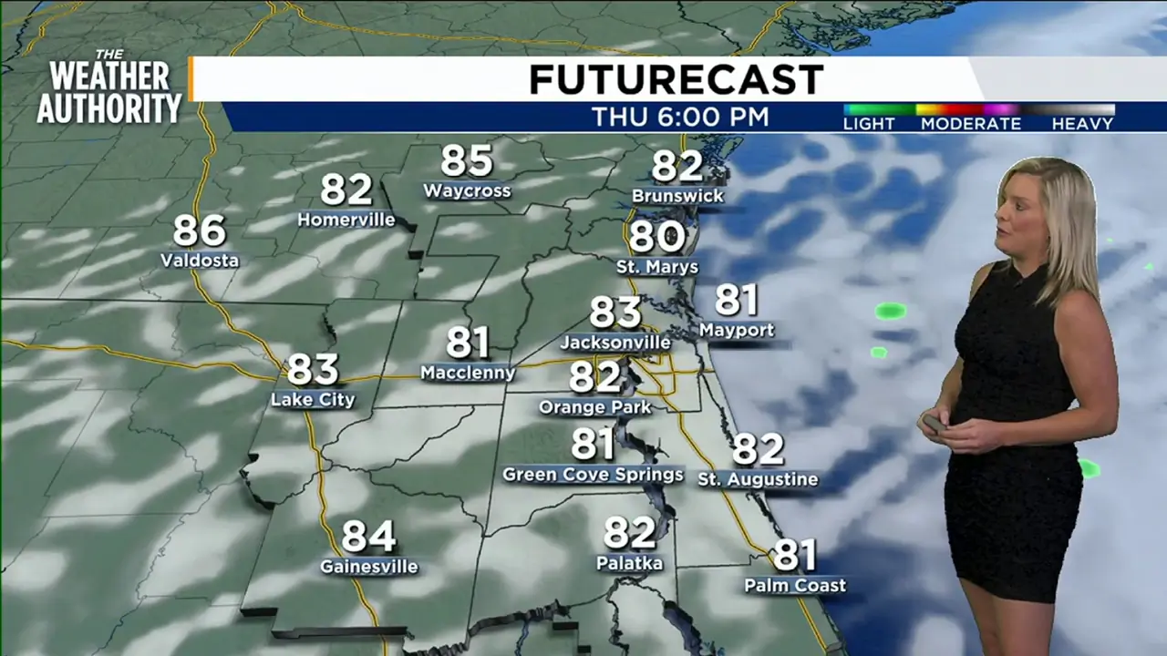
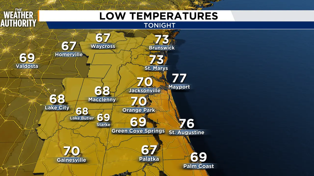
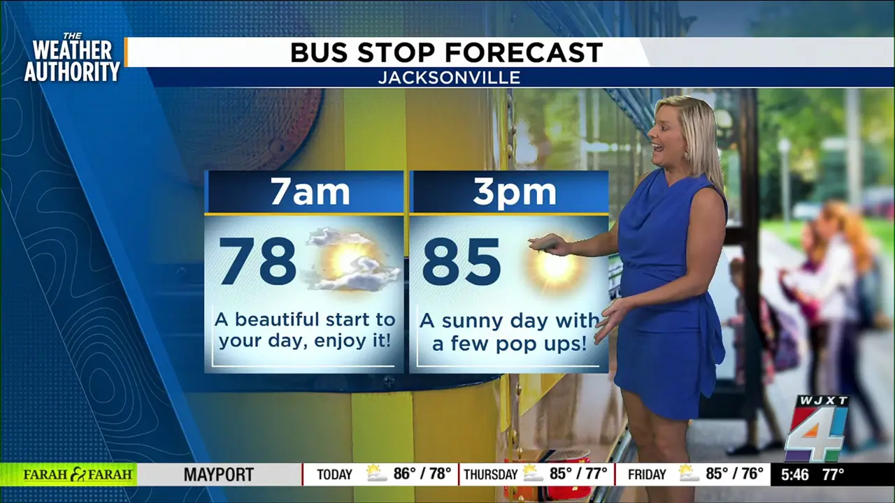
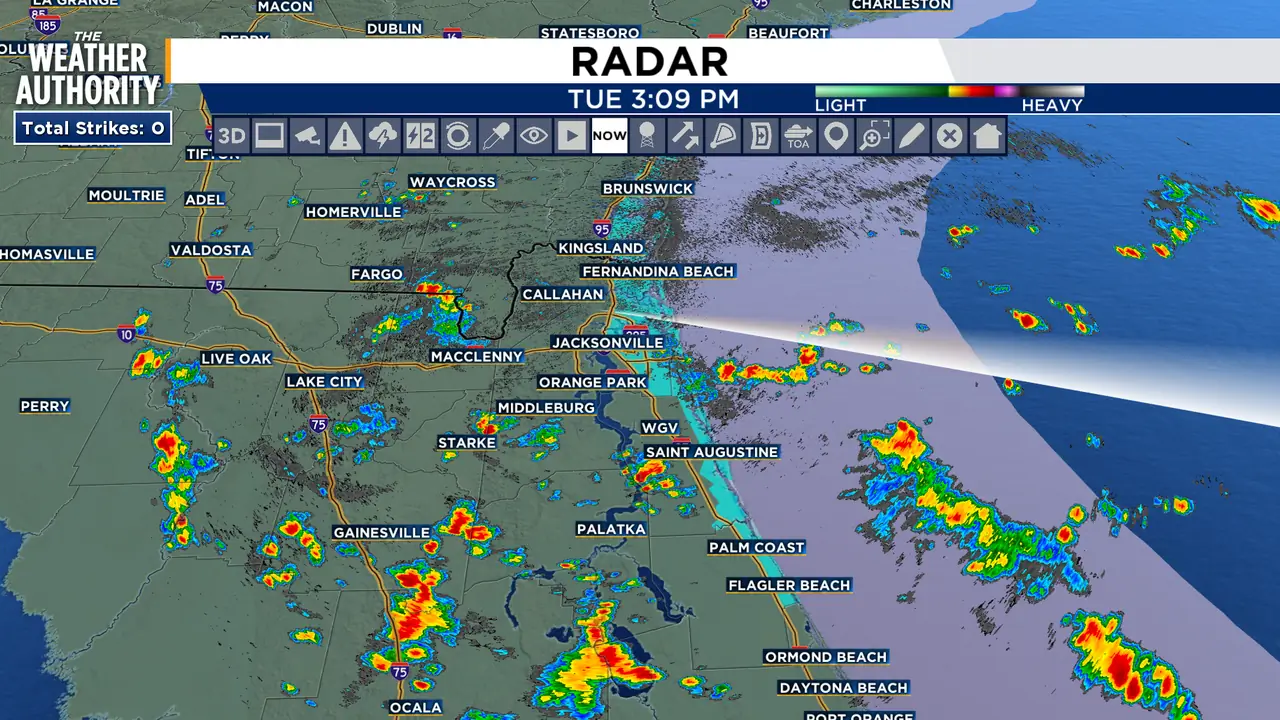
Still feeling near triple-digit heat index with chance for afternoon showers, storms
Read full article: Still feeling near triple-digit heat index with chance for afternoon showers, stormsHighs climb into the upper 80s with heat index values near 100. Showers and thunderstorms become more likely later this afternoon and into the evening, especially after 5 p.m., with a 60% chance of rain.

Social Security COLA forecast points to bigger checks in January 2027
Read full article: Social Security COLA forecast points to bigger checks in January 2027The Senior Citizens League (TSCL) is predicting a 3.5 percent Cost of Living Adjustment (COLA) for Social Security in 2027 — a slight dip of 0.1 percentage points from last month’s forecast, but still higher than recent years.

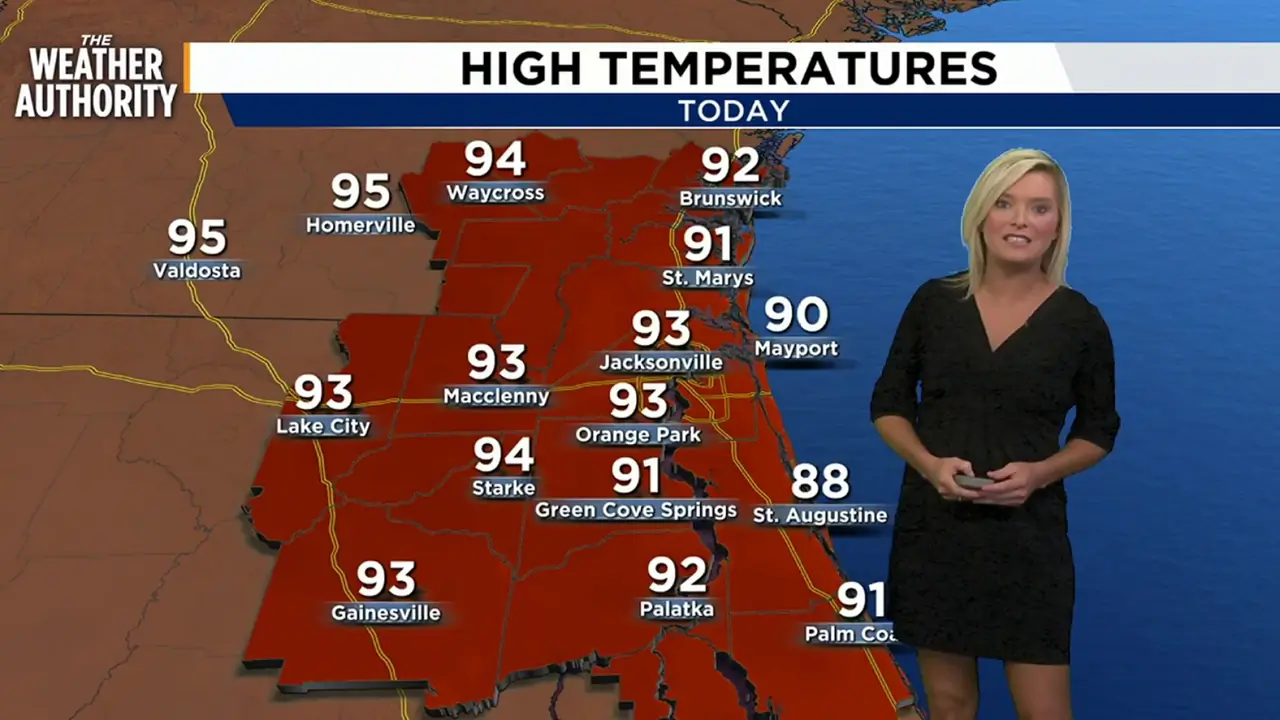
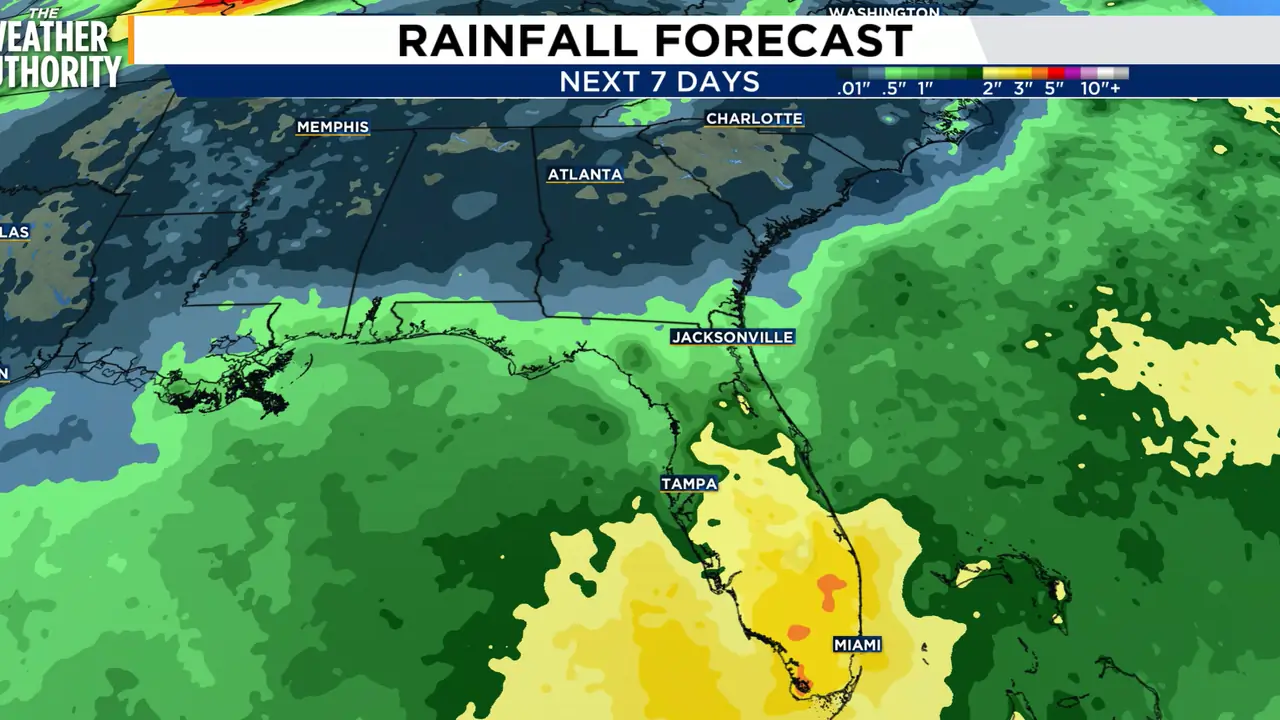
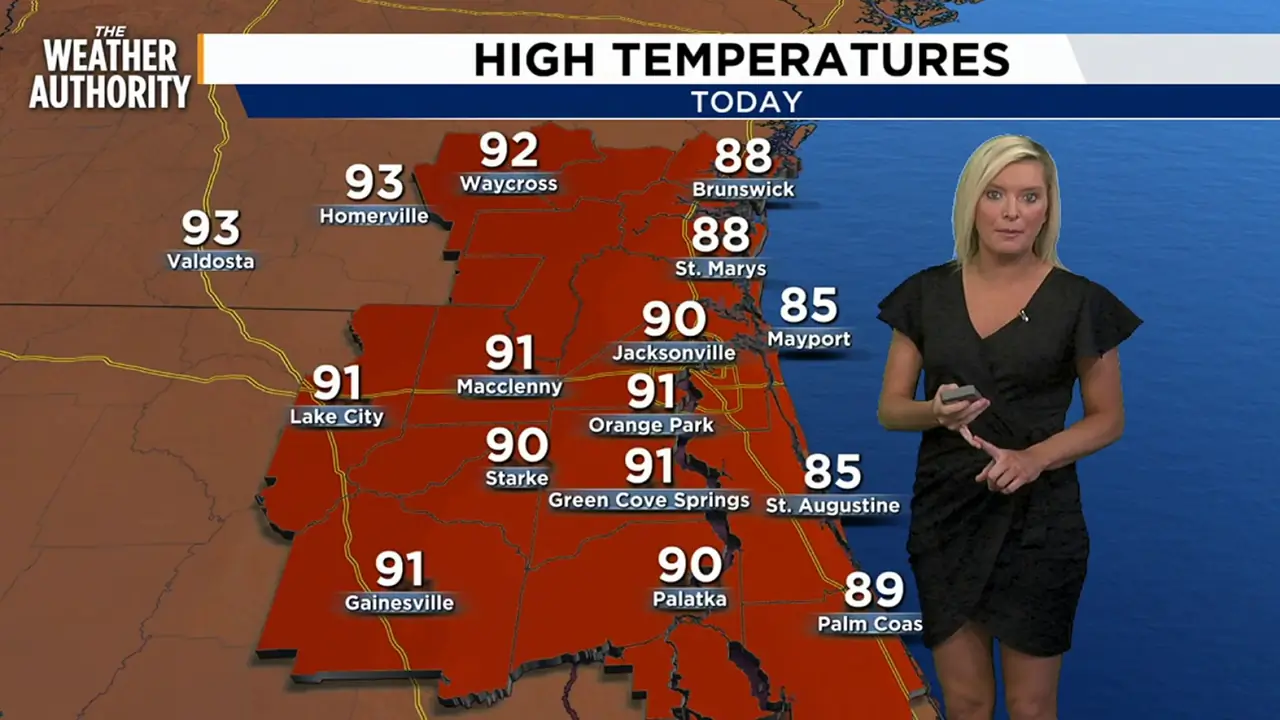
Showers and storms continue with warm and muggy conditions
Read full article: Showers and storms continue with warm and muggy conditionsMonday will feature a partly to mostly cloudy sky with highs near 90 degrees. Make sure to keep an eye to the sky and storms could develop rapidly. Activity will eventually dissipate later in the evening.


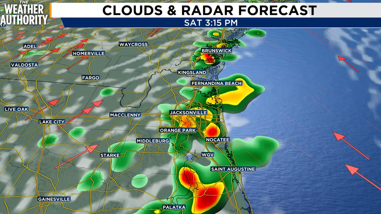
It’s going to be a hot, stormy Saturday in Northeast Florida, Southeast Georgia
Read full article: It’s going to be a hot, stormy Saturday in Northeast Florida, Southeast GeorgiaA hot and humid pattern will continue across the area, with afternoon temperatures reaching the lower 90s and heat indexes climbing as high as 102 to 107 degrees through Monday.
Another day of sun and showers
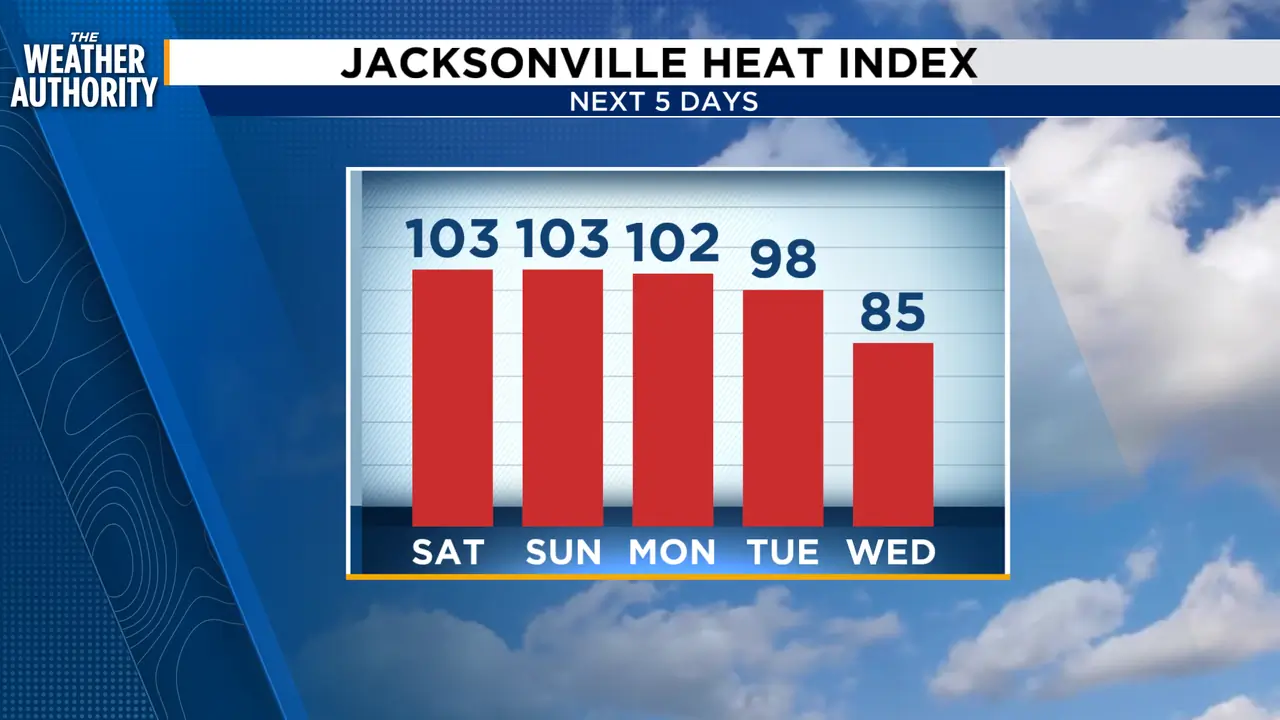
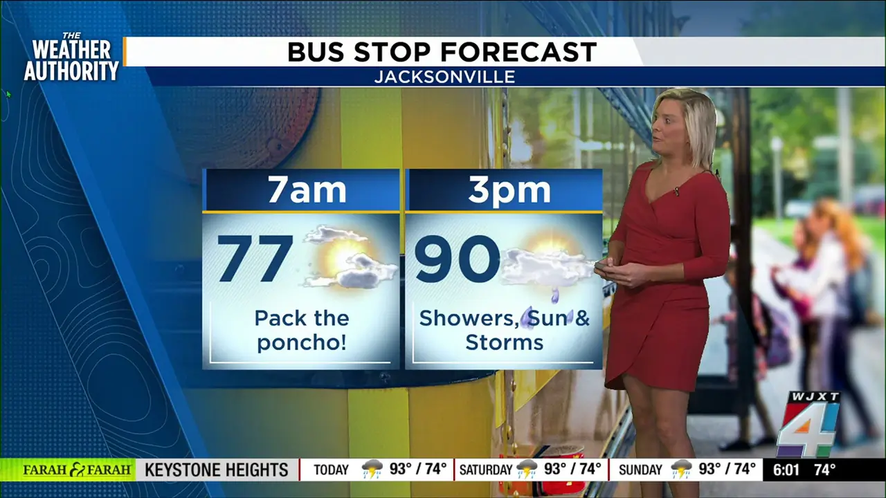
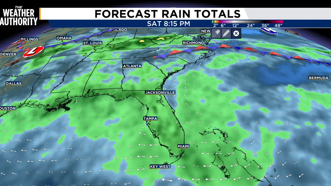
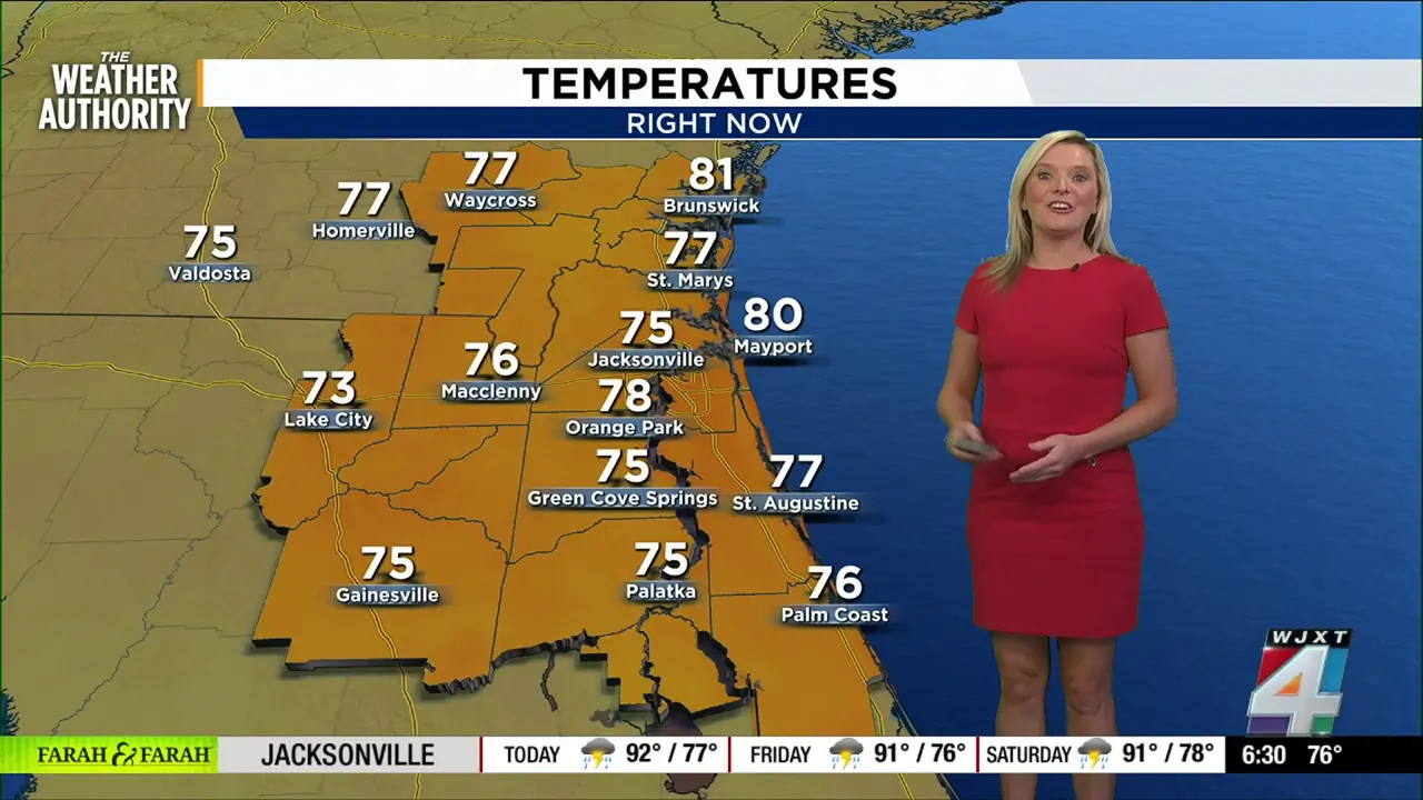
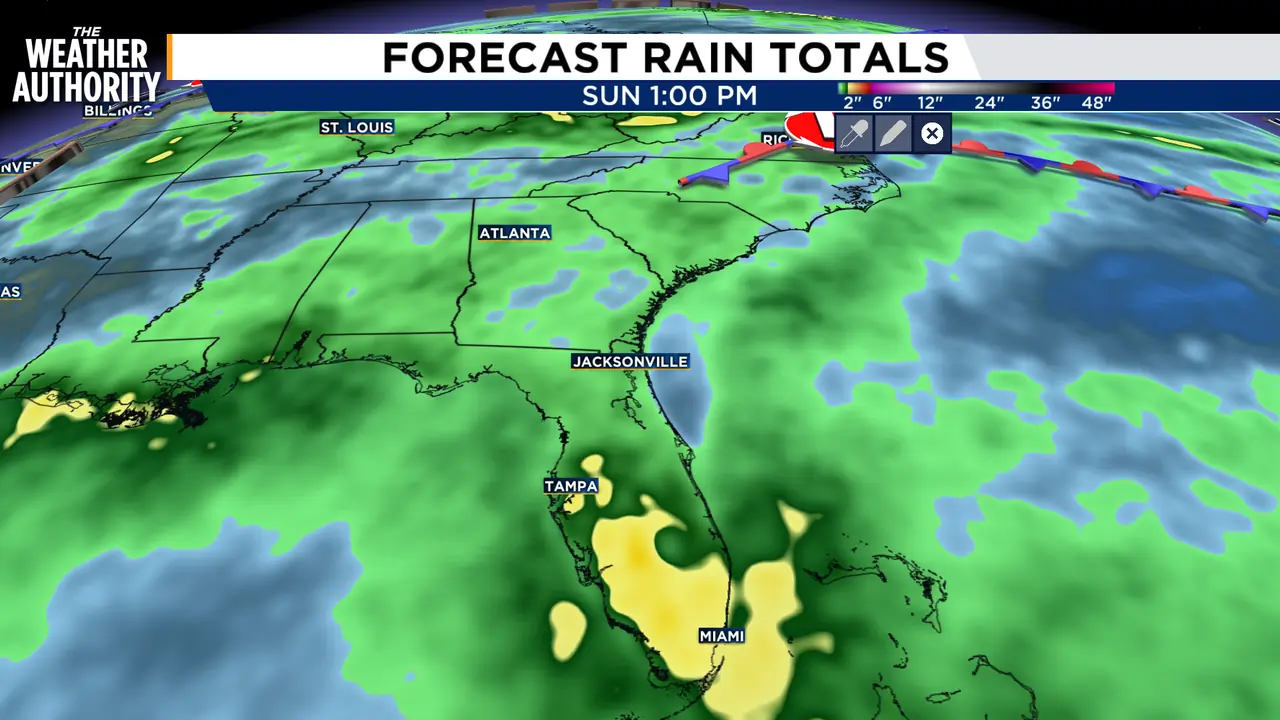
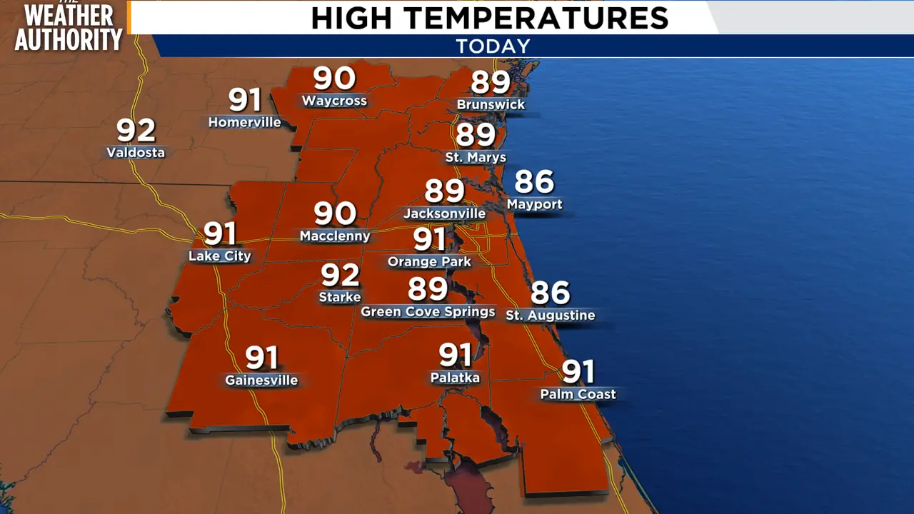
Read full article: Another day of sun and showersWe’ll start mostly dry with plenty of sunshine, then showers and storms become possible late morning into the afternoon. Thursday looks a little hotter with highs near 92 and a few afternoon showers or storms developing mainly after 3 p.m. Rain chances really ramp up Friday and through the weekend, with scattered to numerous showers and storms each afternoon and evening. Friday looks especially active with rain chances around 80%, and Saturday/Sunday stay unsettled with highs near 91. Better storm coverage returns Friday through the weekendOutdoor plans this weekend will need a rain backup, especially afternoon/eveningHave a fabulous day!


Front keeps scattered showers and storms in forecast this week
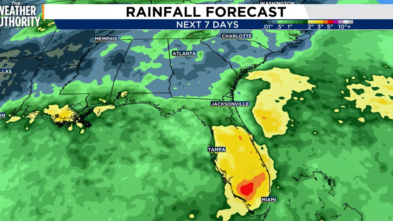
Read full article: Front keeps scattered showers and storms in forecast this weekTuesday will feature a partly to mostly cloudy sky with highs near 90 degrees. Scattered showers and storms will develop in the afternoon and evening along a front.

Wet, breezy Labor Day ahead for Northeast Florida, Southeast Georgia
Read full article: Wet, breezy Labor Day ahead for Northeast Florida, Southeast GeorgiaSlow-moving storms mean heavy rain could fall repeatedly over the same spots, raising the risk of flooded roads and low-lying areas, especially near and south of the weather front this afternoon and into the evening.

Front keeps scattered storms in the forecast for Labor Day
Read full article: Front keeps scattered storms in the forecast for Labor DayLabor Day will feature a partly to mostly cloudy sky with highs near 90 degrees. Scattered showers and storms will become most widespread in the afternoon and evening along a front.
Expect heavy rain, strong storms to move across Southeast Georgia, Northeast Florida Sunday evening
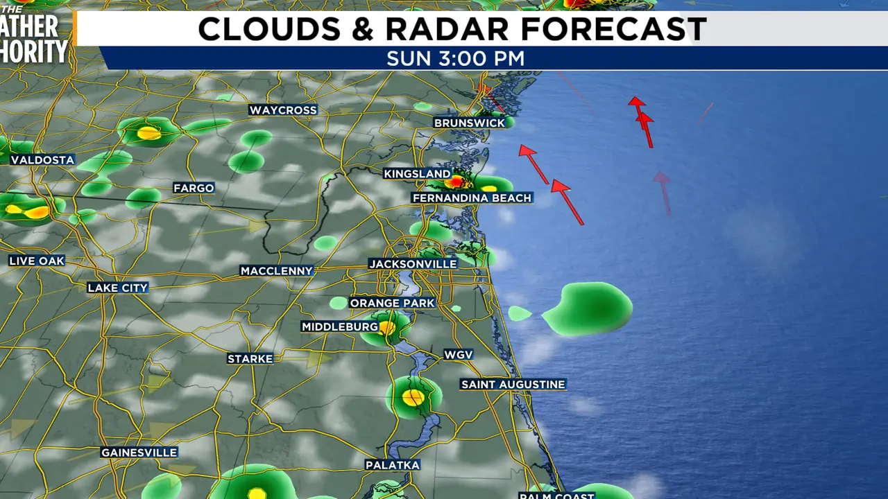
Read full article: Expect heavy rain, strong storms to move across Southeast Georgia, Northeast Florida Sunday eveningIt will be hot and humid today, with afternoon highs in the low to mid-90s. The heat index could reach around 105 degrees east of US301 during the early to mid-afternoon.

Stalled front keeps storms around as we continue through the Labor Day weekend
Read full article: Stalled front keeps storms around as we continue through the Labor Day weekendThe rest of the weekend will feature a partly to mostly cloudy sky with highs near 90 degrees. Scattered showers and storms will develop in the afternoon and evening along a front.

Scattered storms possible across Southeast Georgia, Northeast Florida to start Labor Day Weekend
Read full article: Scattered storms possible across Southeast Georgia, Northeast Florida to start Labor Day WeekendTemperatures will reach the low 90s for most locations, with a few mid-90s possible inland across Georgia where clouds and storms are less common
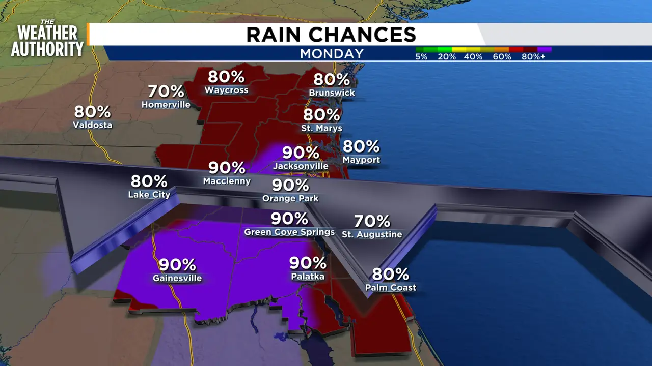
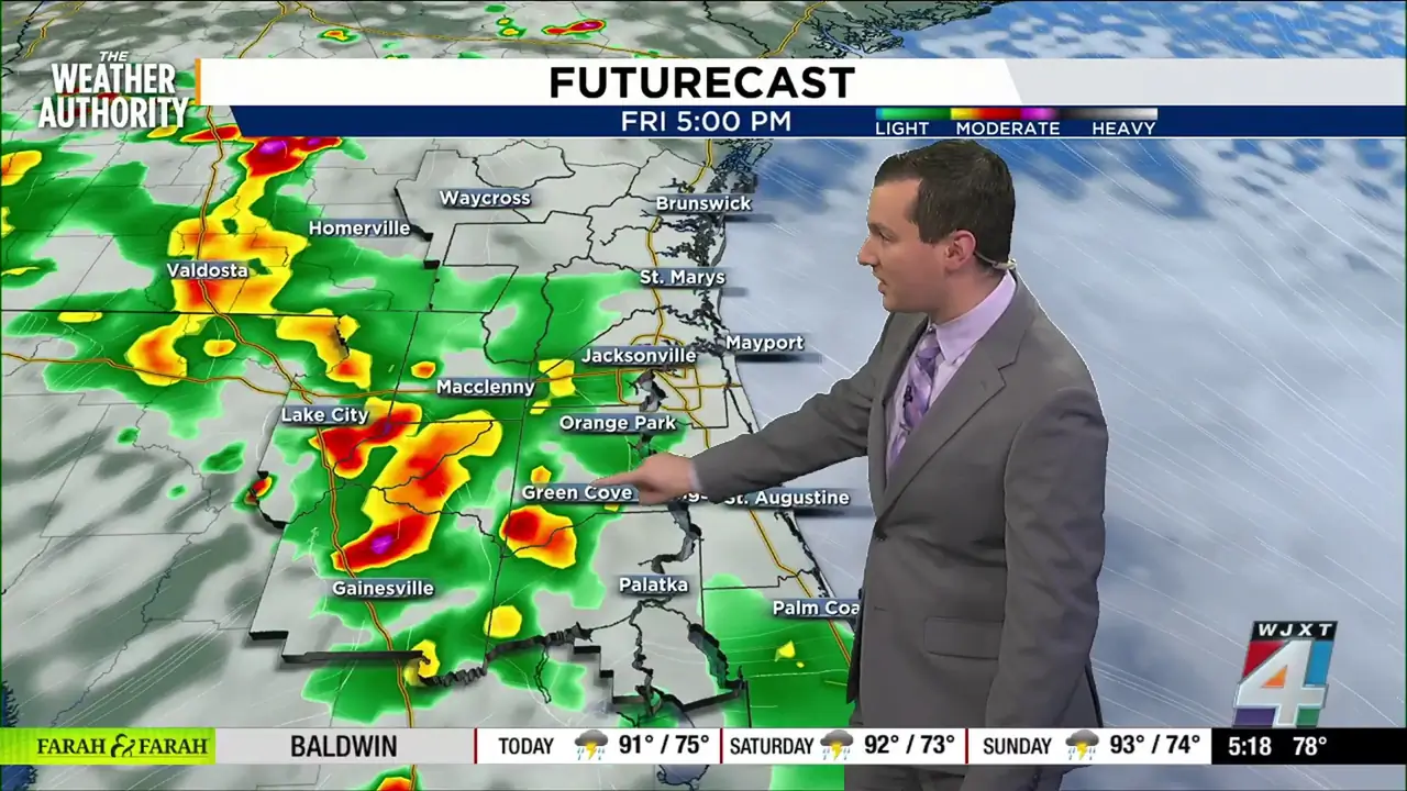
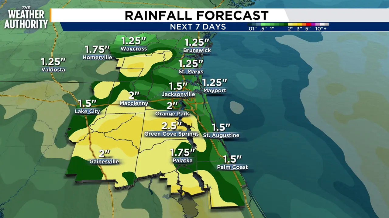

Cloudy, breezy & humid today with a chance for some showers this Labor Day Weekend
Read full article: Cloudy, breezy & humid today with a chance for some showers this Labor Day WeekendA wet and unsettled pattern continues across Northeast Florida and Southeast Georgia as deep tropical moisture keeps rain chances elevated through the end of the week and into the holiday weekend.
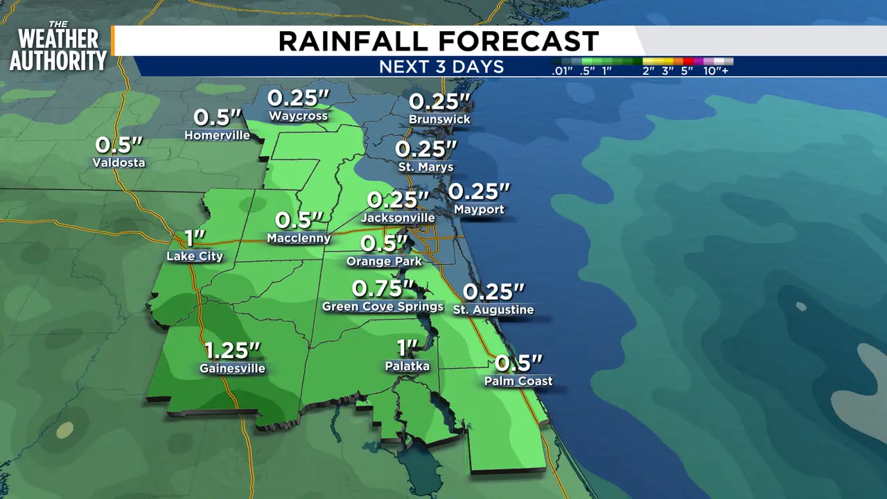
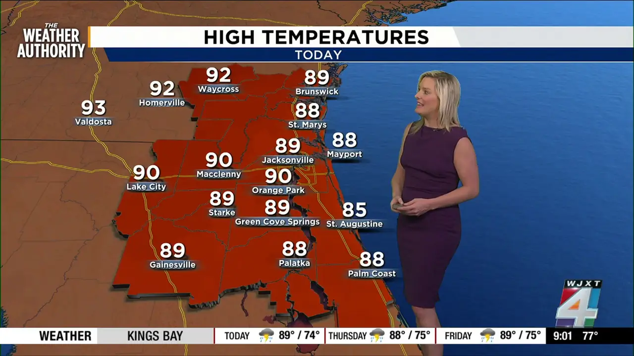

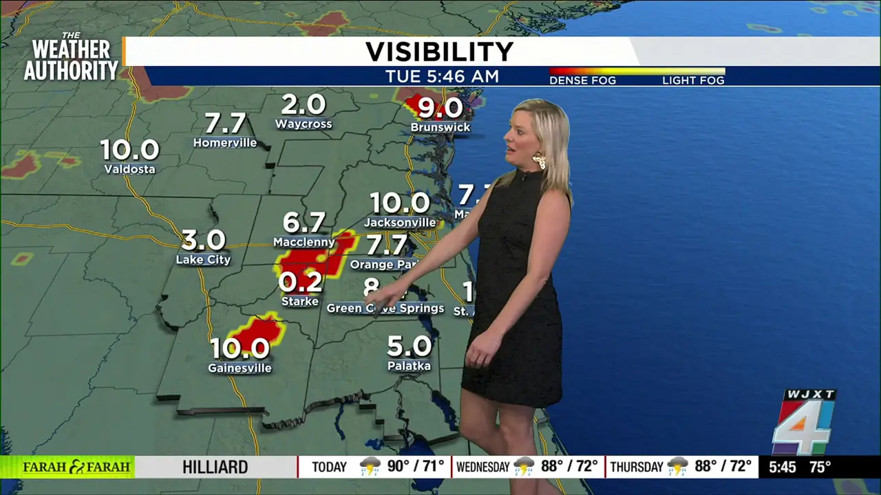
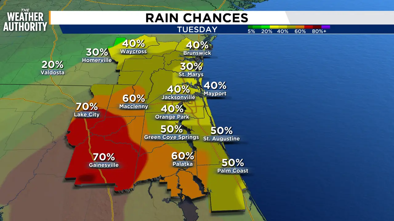
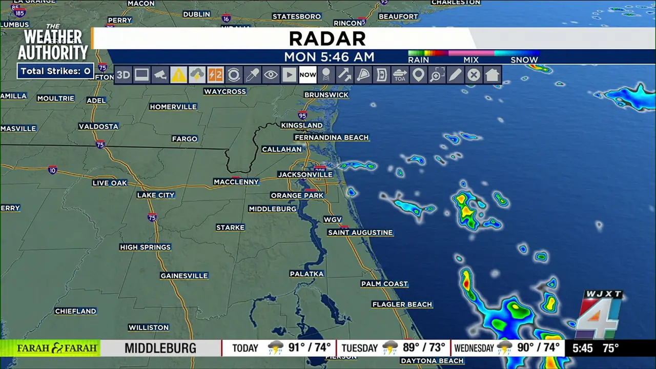
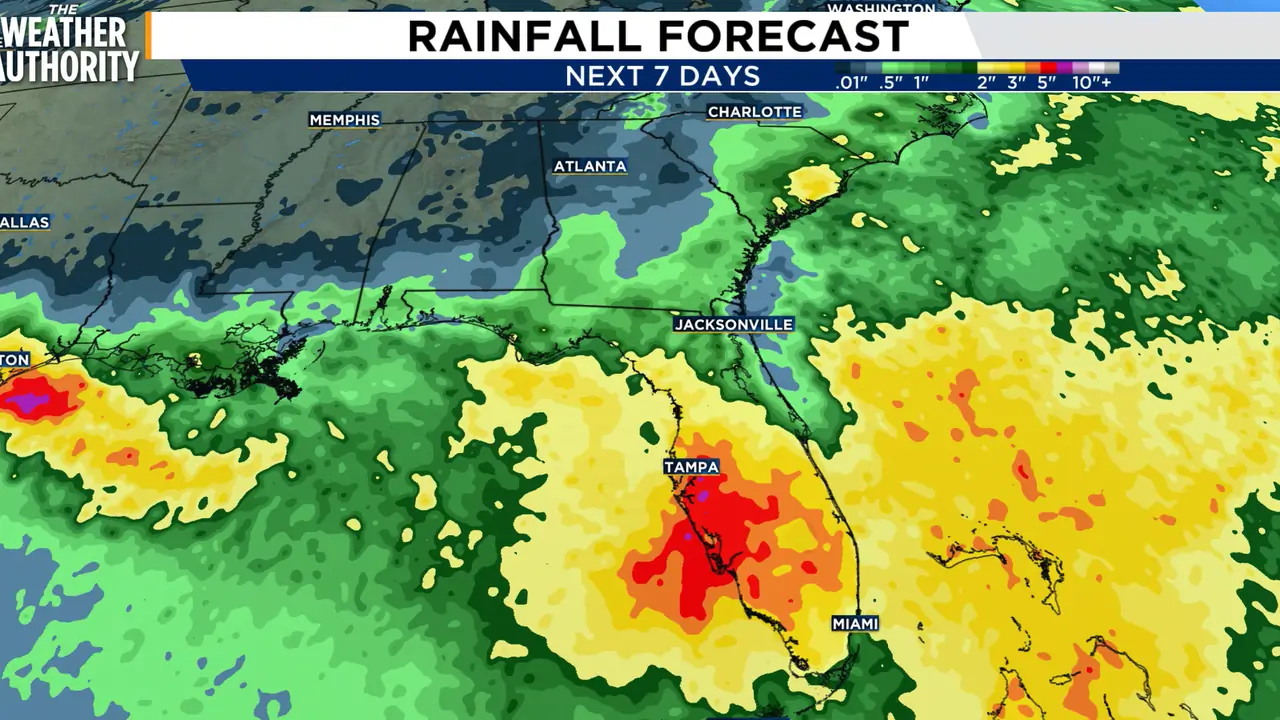

Scattered storms, localized flooding threat expected across Northeast Florida, Southeast Georgia
Read full article: Scattered storms, localized flooding threat expected across Northeast Florida, Southeast GeorgiaHeavy rainfall and localized flooding are the main concerns today, particularly for areas between the US-301 and I-75 corridors.

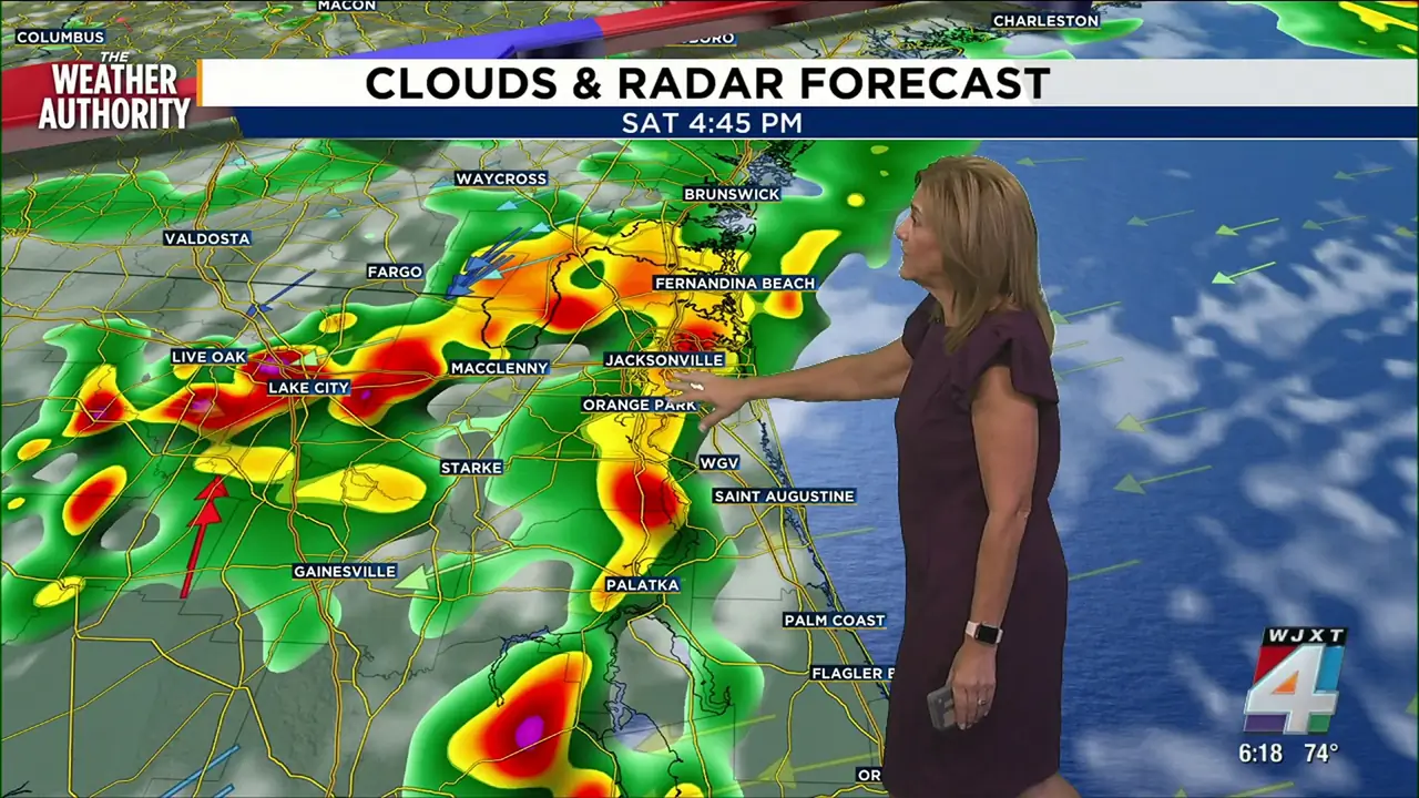
Strong storms, gusty winds, flooding possible from I-95 to I-75 corridor Saturday
Read full article: Strong storms, gusty winds, flooding possible from I-95 to I-75 corridor SaturdayA partly sunny Saturday morning is on tap for Northeast Florida and Southeast Georgia, before storms capable of producing heavy rainfall and localized flooding are expected to develop by afternoon.
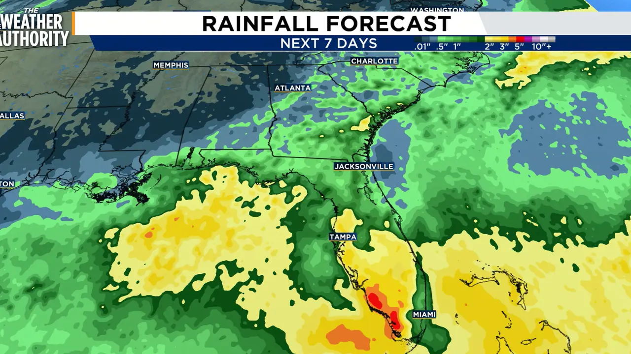
LIVE RADAR: Scattered storms will increase the risk for flooding as we head into the weekend
Read full article: LIVE RADAR: Scattered storms will increase the risk for flooding as we head into the weekendThis weekend will feature a partly to mostly cloudy sky with highs in the low to mid 90s. Scattered showers and storms will develop in each afternoon and evening.
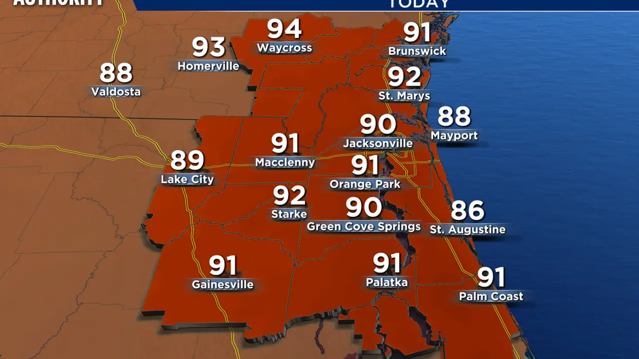
Jacksonville weather brings hot conditions and storms this afternoon
Read full article: Jacksonville weather brings hot conditions and storms this afternoonit’s another hot and humid day across Jacksonville, with scattered thunderstorms expected to develop as we move through the day. We should be prepared for changing weather, with periods of sunshine giving way to clouds, showers and thunderstorms. Storms could bring heavy rainfall, gusty winds and frequent lightning throughout the afternoon and evening. As we head into the evening, Jacksonville will remain warm and muggy, with additional showers and thunderstorms possible. For now, the message for Jacksonville is simple: keep the umbrella nearby, stay hydrated and don’t let the sunshine fool you.
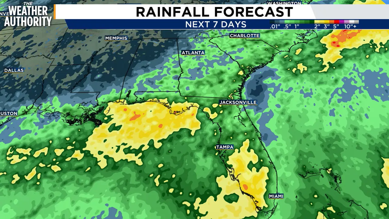
LIVE RADAR: Scattered storms bring an increased risk for flooding across our area through this weekend
Read full article: LIVE RADAR: Scattered storms bring an increased risk for flooding across our area through this weekendFriday will feature a partly to mostly cloudy sky with highs in the low to mid 90s. Scattered showers and storms will develop in the afternoon and evening.
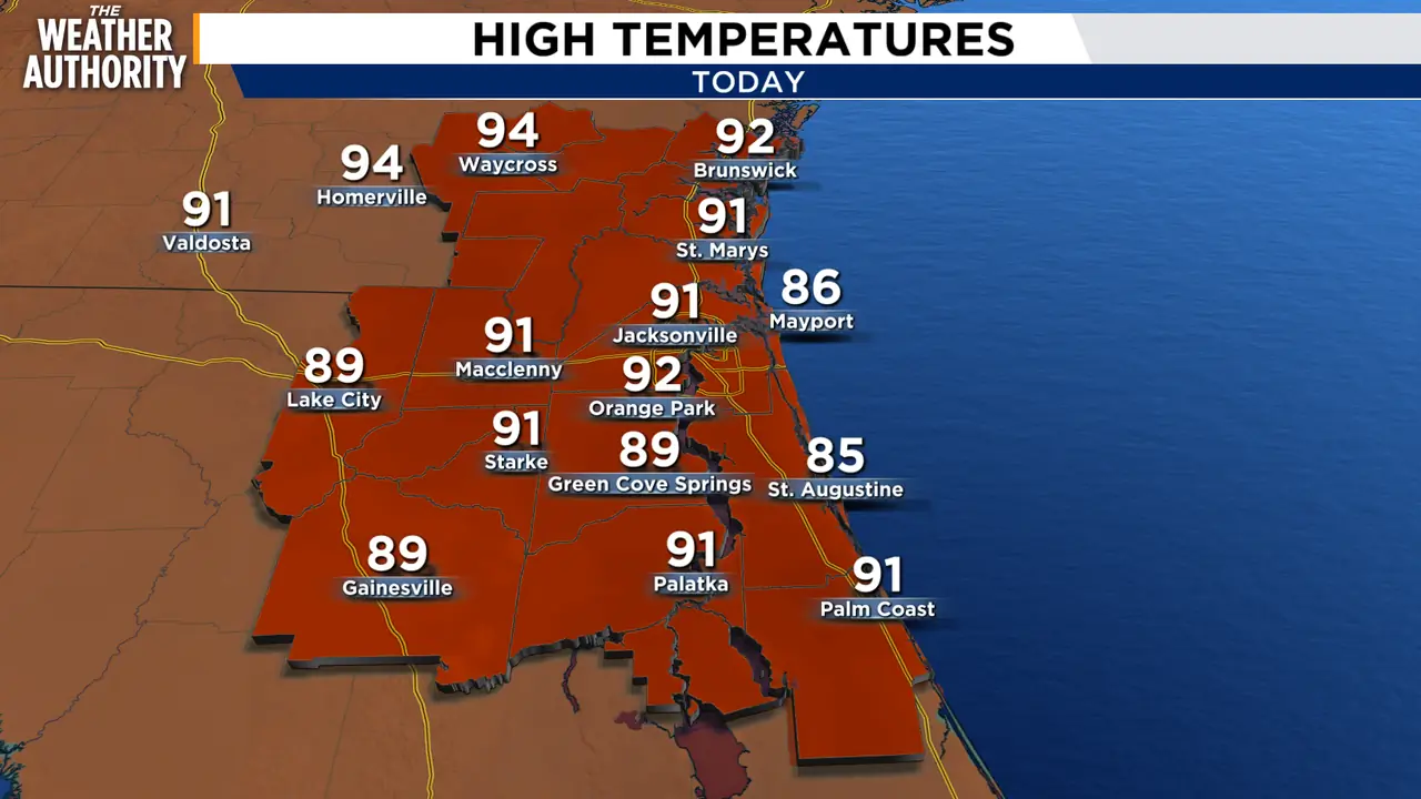
A day of sun, storms, and showers for some
Read full article: A day of sun, storms, and showers for someWe’ll start Thursday with a mix of sun and clouds before scattered showers and thunderstorms develop after 2 p.m. Storm coverage increases heading into Friday and Saturday, with rain chances climbing to 60% Friday and 70% Saturday. The best opportunity for storms will come during the afternoon and evening, and any stronger storm could produce heavy downpours, frequent lightning and gusty winds. Rain chances gradually ease to around 50% Sunday, followed by a more typical scattered afternoon storm pattern early next week. In the tropics, the National Hurricane Center is monitoring Invest 96L over the eastern tropical Atlantic.

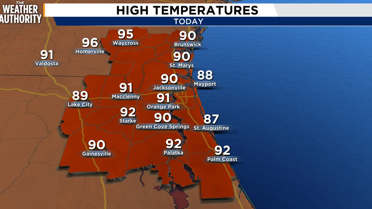


It’s going to be a rainy, stormy afternoon for you
Read full article: It’s going to be a rainy, stormy afternoon for youWe started Tuesday mostly quiet, but a much more active afternoon is ahead. Temperatures will climb into the low 90s with feels-like temperatures around 100 to 105 degrees before numerous showers and thunderstorms develop. Storms should gradually weaken after 9 p.m., although scattered rain may linger into the late evening. The unsettled summertime pattern continues through the weekend with scattered to numerous afternoon and evening thunderstorms each day. A few storms could be strong Wednesday and Thursday, while highs remain near 90 to 92 degrees and heat indices climb above 100.
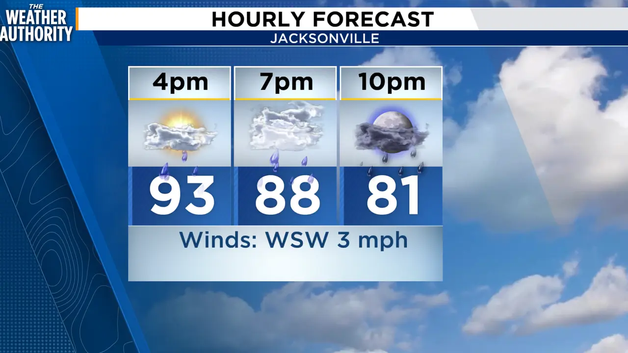
LIVE RADAR: Storms fire up late afternoon, evening in Southeast Georgia, Northeast Florida
Read full article: LIVE RADAR: Storms fire up late afternoon, evening in Southeast Georgia, Northeast FloridaBy late Monday afternoon and into the evening, conditions become favorable for scattered to numerous showers and thunderstorms to develop across the region.

It’s a hot Monday on tap with a few showers and storms possible
Read full article: It’s a hot Monday on tap with a few showers and storms possibleAfternoon highs will climb into the mid to upper 90s inland, while the beaches stay in the upper 80s to near 90. With the humidity, it could feel as hot as 105 degrees, so take it easy outdoors and stay hydrated.
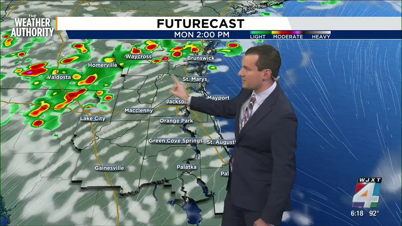
Strong storms possible early this week as temperatures reach the mid 90s
Read full article: Strong storms possible early this week as temperatures reach the mid 90sMonday will feature a mix of sun and clouds with highs in the low to mid 90s. Isolated showers and storms will develop in the afternoon and evening. Storm coverage will be most widespread in Georgia. These locations are closer to a stalled front.
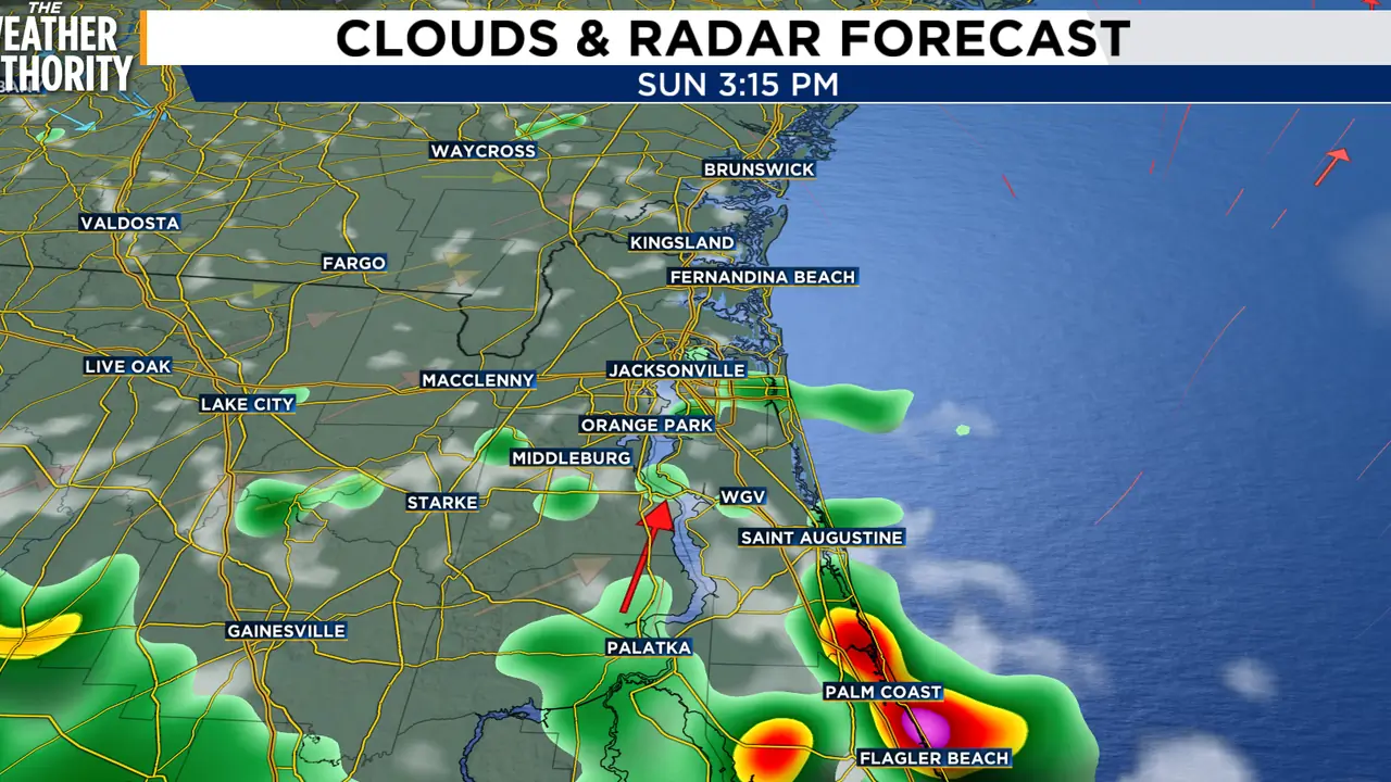
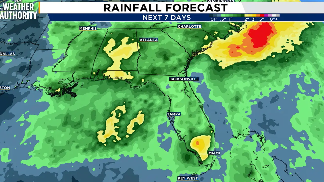

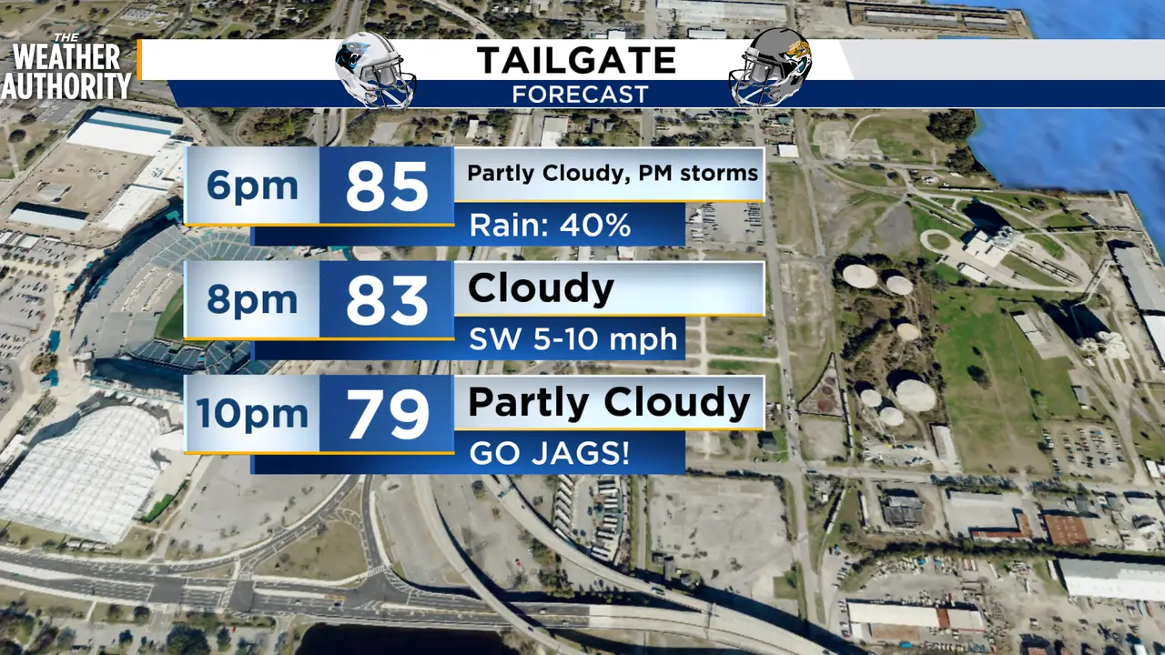
Heat Advisory and afternoon showers with storms back in the forecast
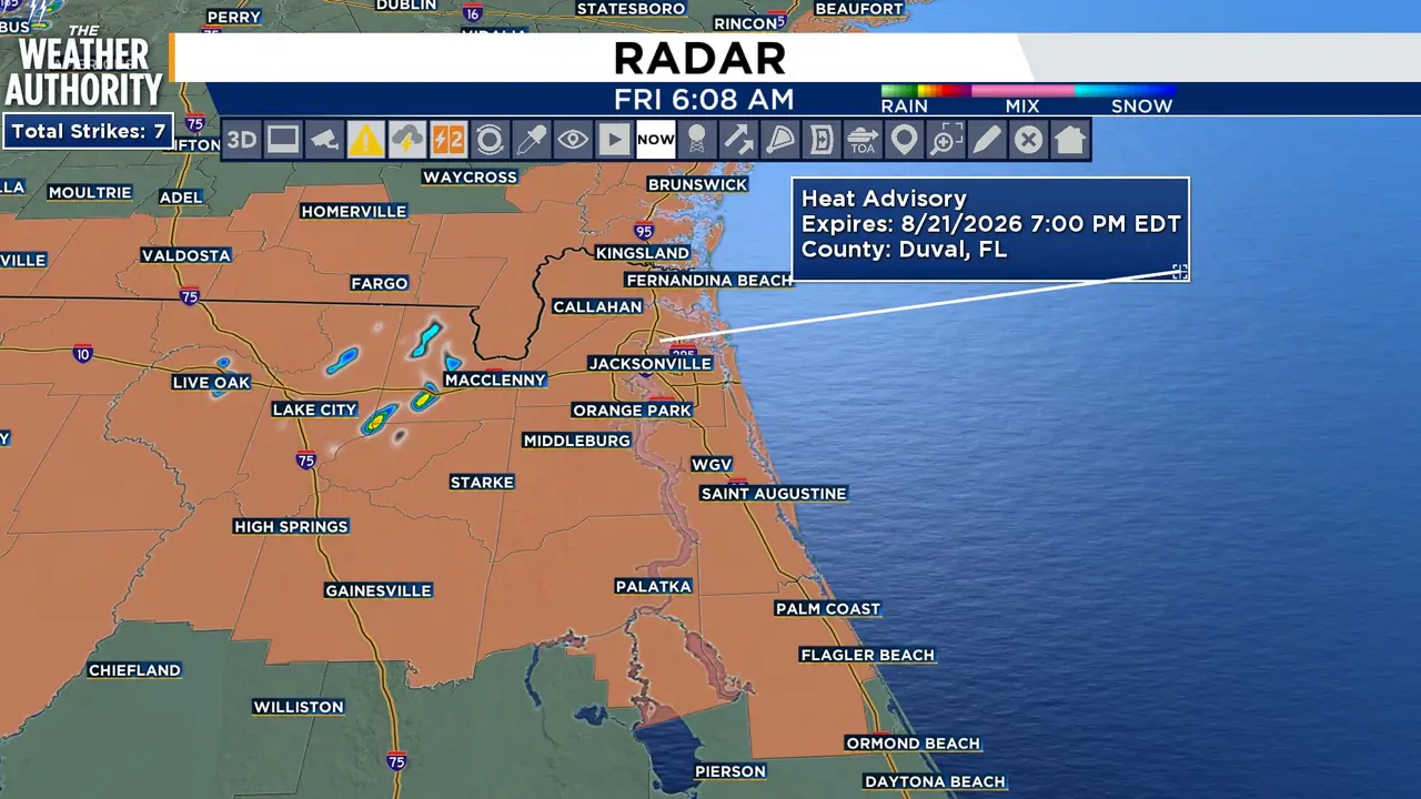
Read full article: Heat Advisory and afternoon showers with storms back in the forecastJacksonville will reach a high near 95 degrees, but the combination of heat and humidity could push feels-like temperatures as high as 105. Saturday will be mostly sunny with a high near 93 and heat index values approaching 103. Scattered showers and thunderstorms become more likely during the afternoon, with rain chances increasing to 60% Saturday evening before tapering overnight. Sunday brings another mix of sunshine and clouds with a 30% chance of afternoon storms and a high near 94. Scattered afternoon showers and thunderstorms return Tuesday and continue Wednesday and Thursday, with daily rain chances between 30% and 40%.


A dangerously hot day mixed with afternoon showers and storms
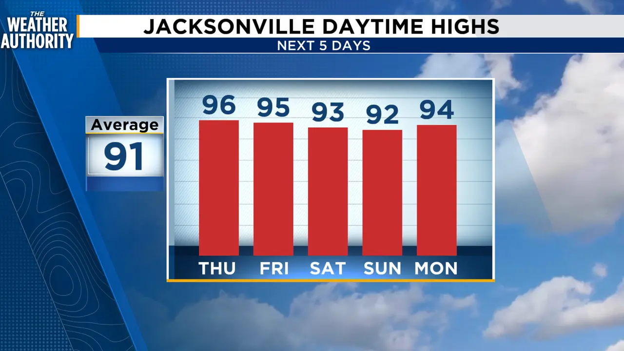
Read full article: A dangerously hot day mixed with afternoon showers and stormsThursday will begin mostly sunny before a few showers and thunderstorms develop during the afternoon, mainly after 2 p.m. Another hot and humid afternoon is expected Friday, with a high near 95 degrees and heat index values potentially reaching 107. Showers and thunderstorms become likely after 11 a.m. Saturday, with rain chances reaching 70 percent. Sunday will not be a washout, but scattered showers and thunderstorms remain possible, with rain chances near 40 percent and a high around 93. Typical late-summer conditions continue into early next week, featuring highs in the lower to middle 90s and daily chances for afternoon thunderstorms.

Another dangerously hot day across NE Florida and SE Georgia
Read full article: Another dangerously hot day across NE Florida and SE GeorgiaDangerous heat continues across Northeast Florida and Southeast Georgia through the end of the workweek, with only limited overnight relief. Scattered showers and thunderstorms are expected to develop late Wednesday afternoon, mainly after 5 p.m., with rain chances near 60%. Thursday will remain hot and humid with a high near 97 degrees, a heat index approaching 109 and a lower, 30% chance of a late-day storm. Scattered to numerous afternoon and evening thunderstorms are expected each day, with rain chances near 60% Friday and Saturday and around 50% Sunday. Temperatures will slowly ease from the mid-90s Friday and Saturday into the lower 90s Sunday, but humidity will remain high.


LIVE RADAR: Severe Thunderstorm Warning issued for Clay, Duval, Putnam, St. Johns counties
Read full article: LIVE RADAR: Severe Thunderstorm Warning issued for Clay, Duval, Putnam, St. Johns countiesA Severe Thunderstorm Warning was issued for Clay, Duval, Putnam, and St. Johns counties until 5 p.m.A Flood Advisory was issued for Clay, Duval, and St. Johns counties until 6 p.m. Tuesday will feature increasing clouds, a high near 97° and a heat index as high as 111°. The City of Jacksonville Cooling Center Contingency Plan remains active in response. When activated Monday-Saturday, Cooling Centers will be available at various City of Jacksonville (COJ) facilities during normal hours of operation. Free rides to cooling centers are available through the Jacksonville Transportation Authority (JTA) on activation days.


Dangerous heat continues across NE FL & SE GA
Read full article: Dangerous heat continues across NE FL & SE GADangerous heat and humidity remain the primary weather concern across Northeast Florida and Southeast Georgia Monday, with another round of afternoon thunderstorms possible later in the day. Afternoon temperatures will climb into the mid and upper 90s, but it will feel considerably hotter. The storms will remain scattered, meaning not everyone will receive rain or relief from the heat. Storm coverage drops to around 40% Wednesday and 20% Thursday, allowing the dangerous heat to remain the dominant weather story. Scattered afternoon thunderstorms are expected Friday, followed by daily rain chances around 40% Saturday and Sunday.
Heat alerts issued as highs approach 100 degrees Monday
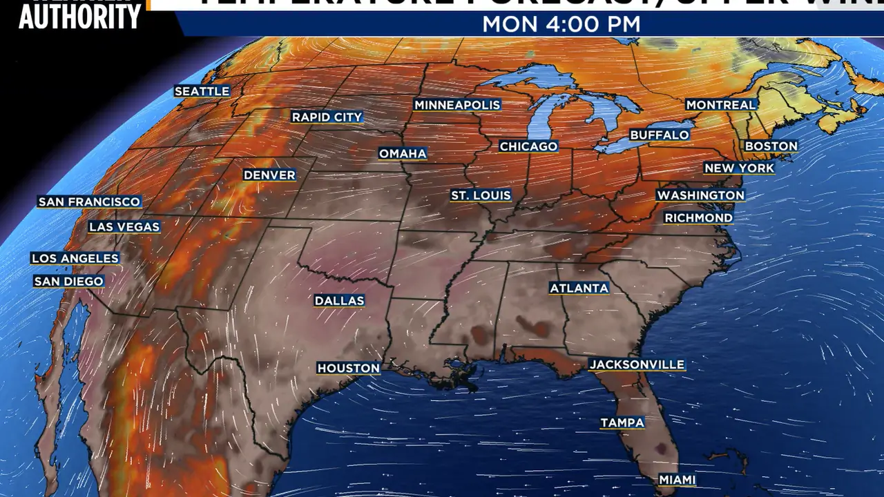
Read full article: Heat alerts issued as highs approach 100 degrees MondayMonday will feature a mix of sun and clouds with highs in the low to mid 90s. Isolated showers and storms will develop in the afternoon and evening. Heat alerts are in effect once again on Monday due to heat index values approaching if not exceeding 108 degrees.

Heat wave with close to record-breaking highs expected this week in Northeast Florida, Southeast Georgia
Read full article: Heat wave with close to record-breaking highs expected this week in Northeast Florida, Southeast GeorgiaAfternoon high temperatures are expected to climb into the mid to upper 90s by mid to late afternoon.
A HOT HOT HOT weekend on tap
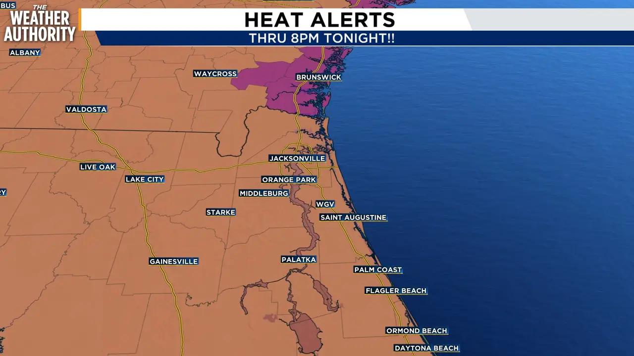
Read full article: A HOT HOT HOT weekend on tapPer the National Weather Service, dangerous heat and humidity will continue throughout the next several days. A few showers and thunderstorms may develop during the afternoon and evening, but storms will be scattered, so not everyone will see rain. Looking ahead, the heat is expected to continue through much of next week, with afternoon temperatures generally in the mid 90s and additional chances for thunderstorms. The National Weather Service is warning of dangerous heat and humidity, with heat-index values potentially reaching around 108 degrees or higher in parts of the region. For Jacksonville, the message this weekend is simple: hot, humid and stormy at times, with dangerous heat during the afternoon.
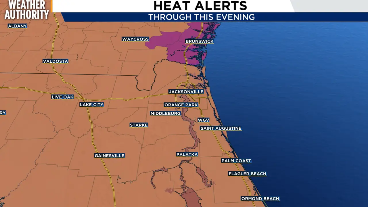
Heat alerts are in effect this weekend as temperatures near 100 degrees
Read full article: Heat alerts are in effect this weekend as temperatures near 100 degreesIt will be hot today with highs in the mid to upper 90s. Heat alerts are in effect once again today due to heat index values approaching if not exceeding 108 degrees


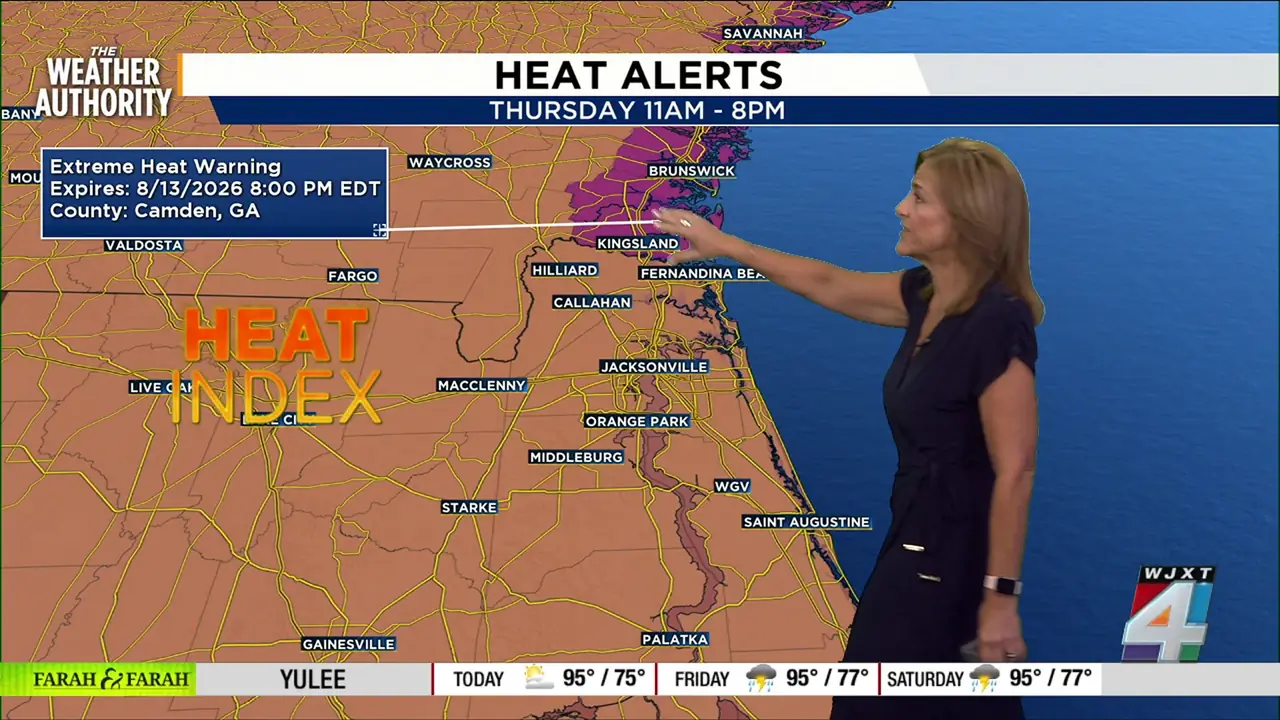
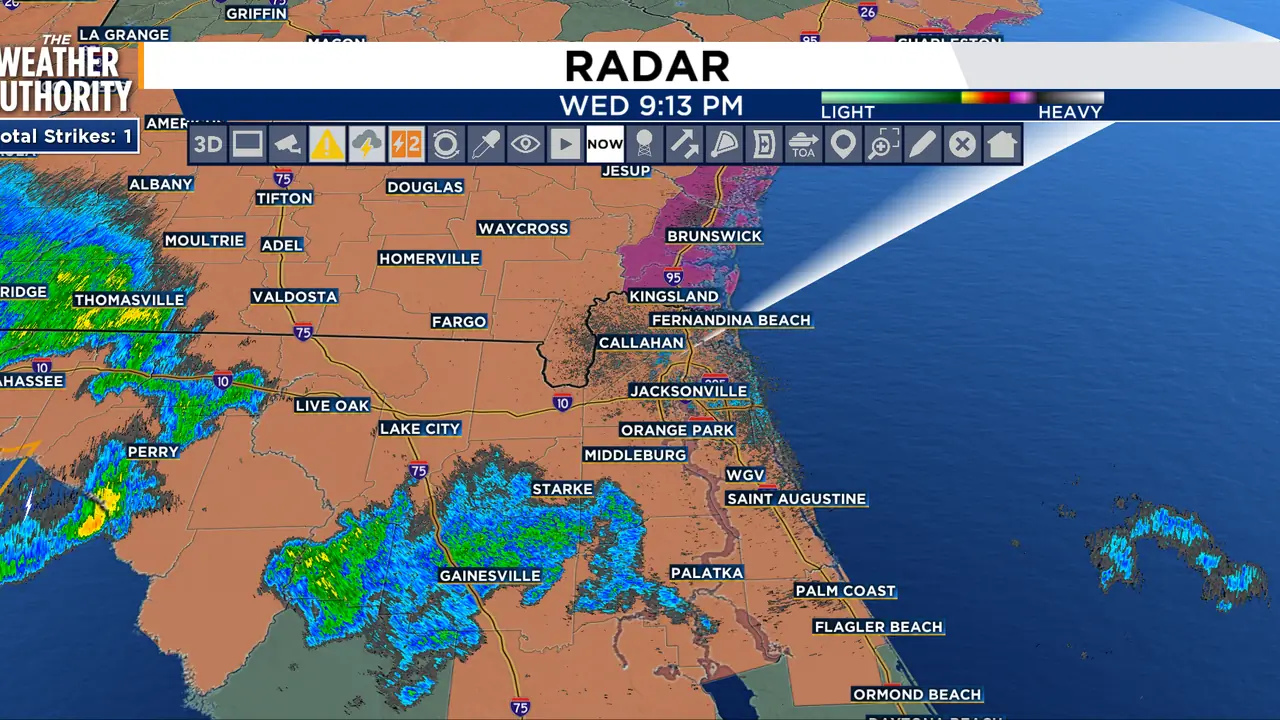

Another day, another heat advisory from noon to 7 o’clock tonight!
Read full article: Another day, another heat advisory from noon to 7 o’clock tonight!A Heat Advisory is in effect from noon until 7 p.m. for Northeast Florida and coastal Southeast Georgia. Highs climb into the mid to upper 90s, with heat index values between 105° and 110°. Thursday stays hot with highs in the upper 90s and feels-like temperatures near 109° locally. Coastal Southeast Georgia is under an Extreme Heat Watch, where heat indices could reach 112° to 114°. Daily afternoon storms remain possible through Friday, while near-record heat could continue into the weekend.
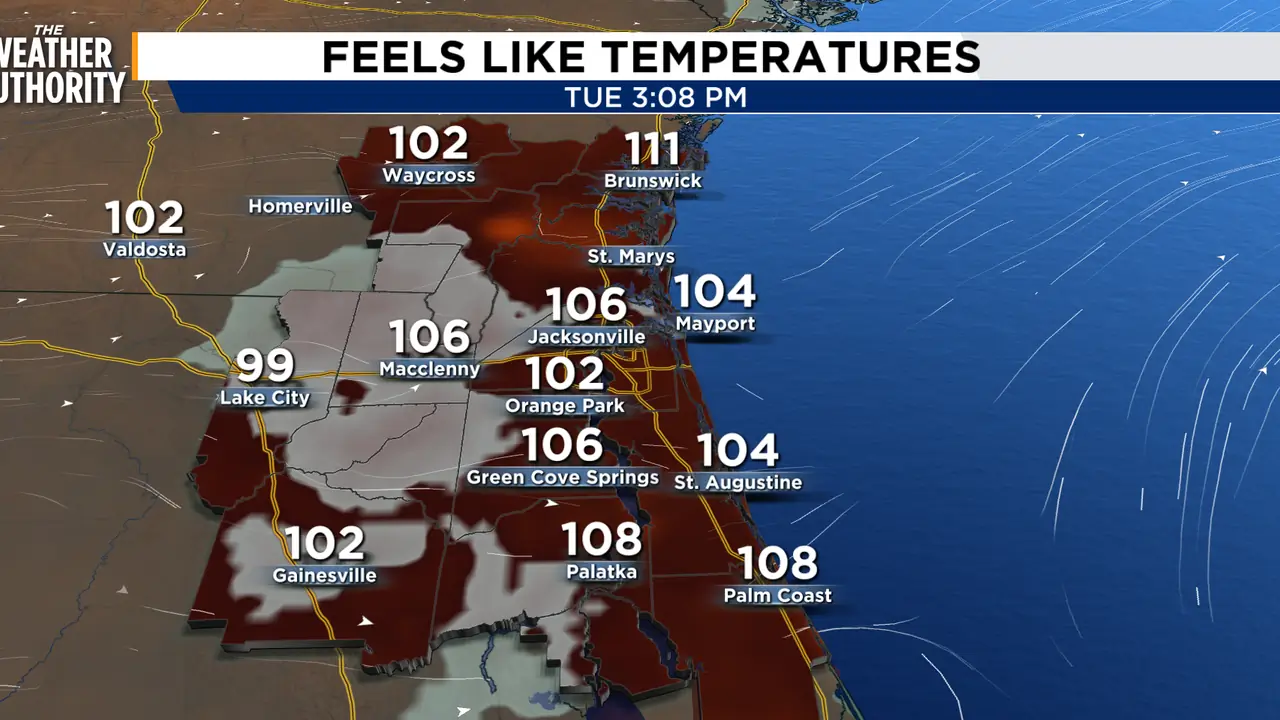
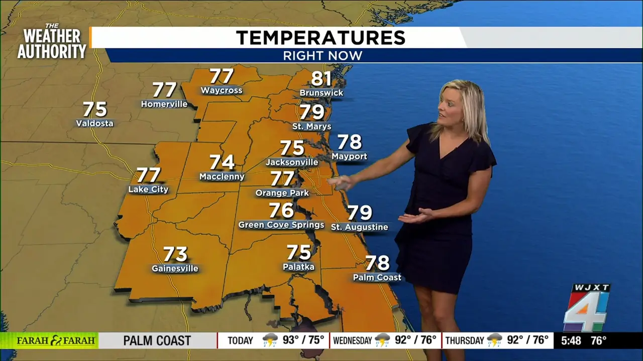
Heat Advisory in effect today with showers and storms this afternoon
Read full article: Heat Advisory in effect today with showers and storms this afternoonA heat advisory today from Noon until 7 p.m., with more advisories possible through Friday because of feels-like temperatures from 102-110 degrees. Sea breeze showers and thunderstorms will be possible.

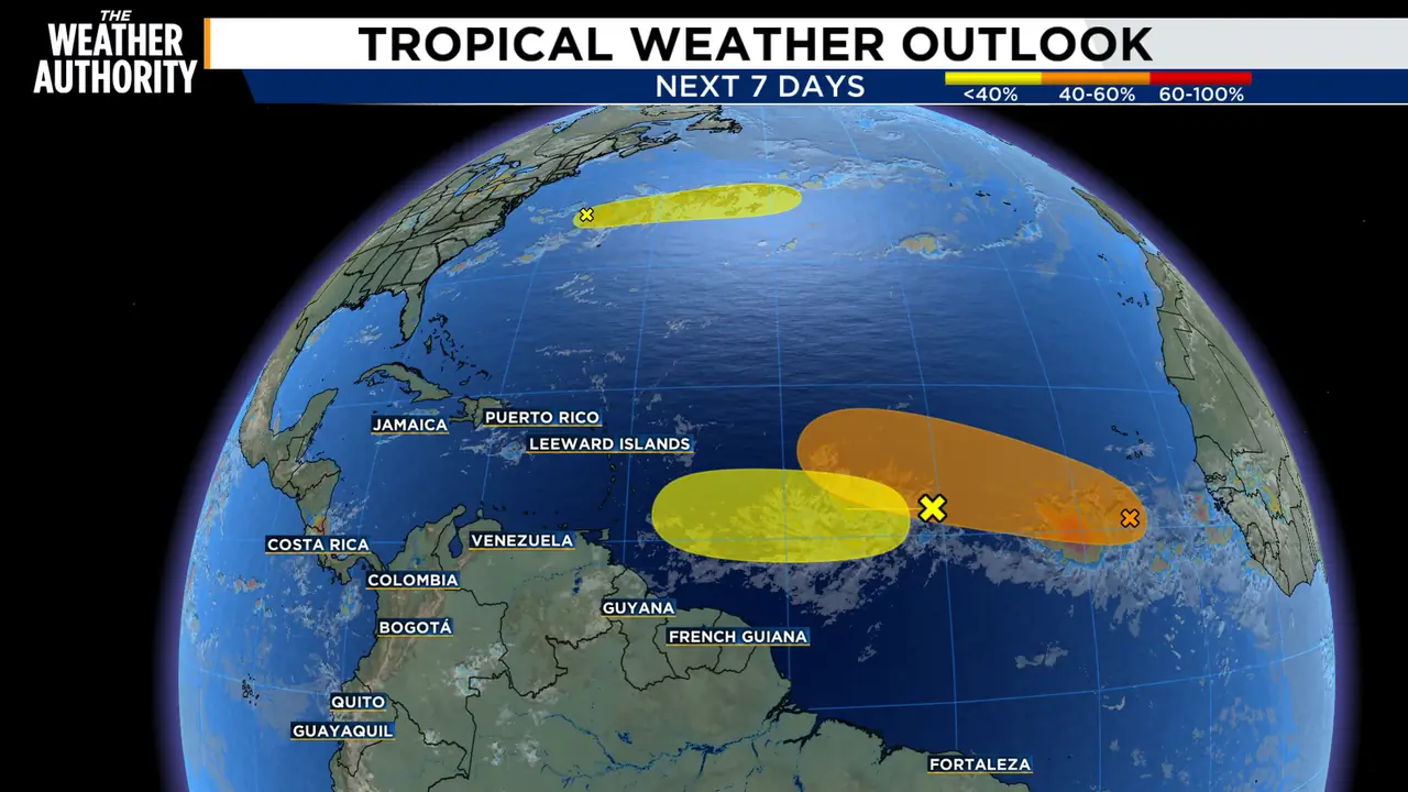
The Atlantic basin is heating up as we approach the peak of hurricane season
Read full article: The Atlantic basin is heating up as we approach the peak of hurricane seasonHowever, conditions are expected to become less favorable later this week as the system approaches the Lesser Antilles. Development chances:Next 48 hours: 10%Next 7 days: 10%Disturbance 2: 60% Chance of DevelopmentThis is the area the National Hurricane Center is watching most closely. A tropical depression could form later this week as the system heads west to west-northwest across the central Atlantic. Some development is possible over the next couple of days as the system races eastward, staying well north of Bermuda. The system will reach cooler waters later this week, which will limit any further development.

LIVE RADAR: Severe Thunderstorm Warning issued for Duval, Nassau Counties until 4:15 p.m.
Read full article: LIVE RADAR: Severe Thunderstorm Warning issued for Duval, Nassau Counties until 4:15 p.m.We’re starting off warm and muggy across Jacksonville, and the heat will be the big weather story today and especially as we head deeper into the week.


Northeast Florida, Southeast Georgia weather: scattered strong storms, dangerous rip currents, hot week ahead
Read full article: Northeast Florida, Southeast Georgia weather: scattered strong storms, dangerous rip currents, hot week aheadStormy at times today (strong storms possible), rip current danger at the beaches, then hotter and more humid next week with potential daily heat advisories
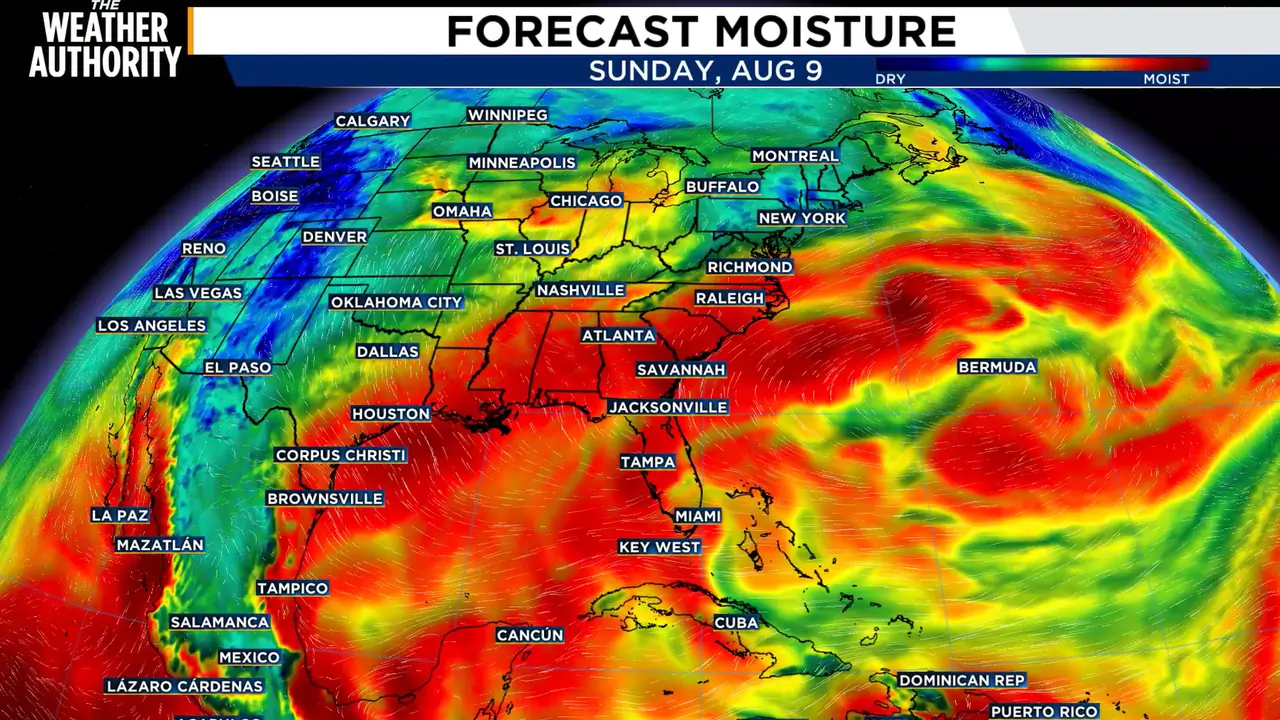
Storms bring flood risk as tropical moisture moves in
Read full article: Storms bring flood risk as tropical moisture moves inTropical moisture will continue to push into our area on Sunday, which will keep widespread showers and storms in the forecast. Highs for the day will be in the upper 80s to low 90s.

Widespread rain on Saturday could lead to localized flooding in Northeast Florida, Southeast Georgia
Read full article: Widespread rain on Saturday could lead to localized flooding in Northeast Florida, Southeast GeorgiaWith plenty of moisture in the air and rising temperatures, conditions are ripe for stormy weather
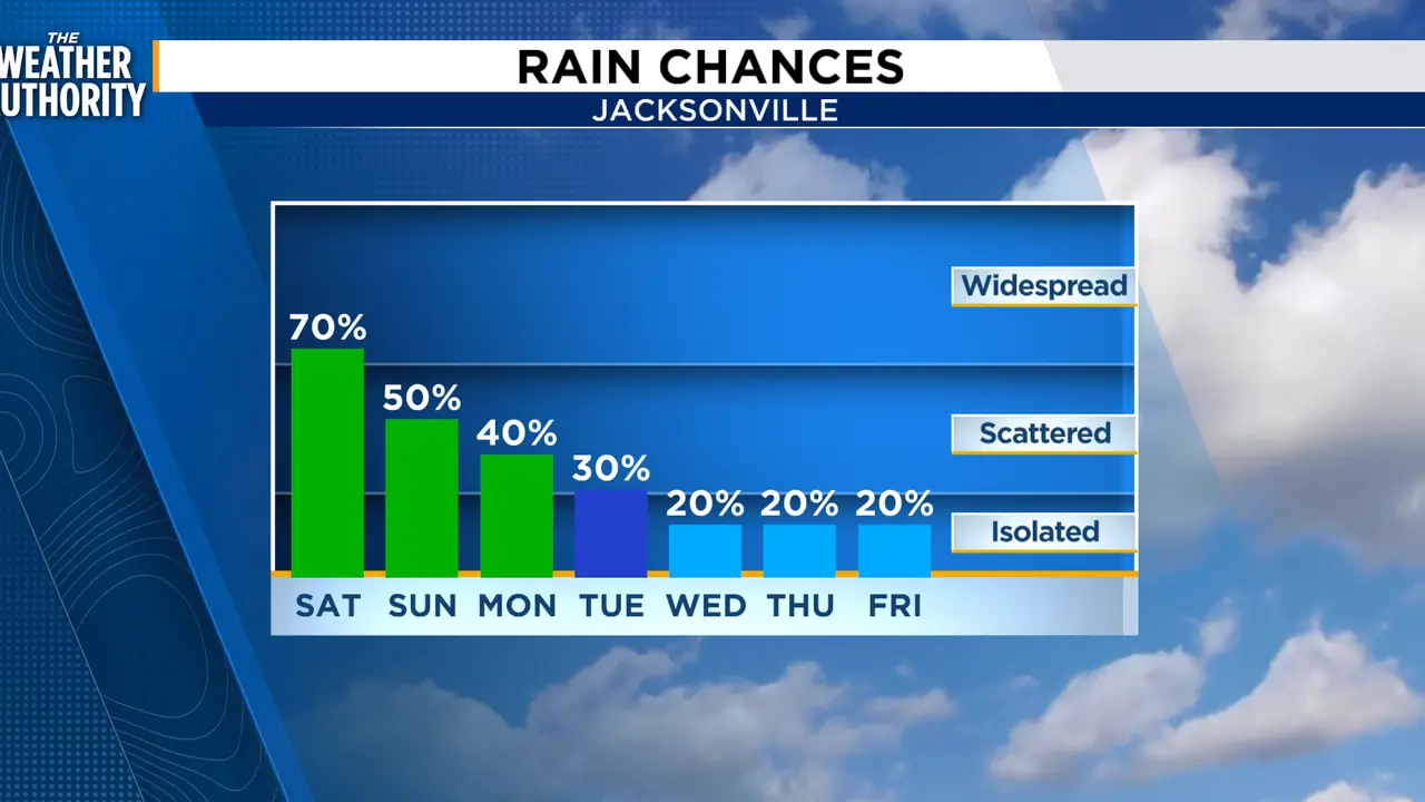
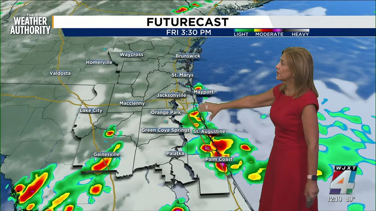
Friday’s forecast brings more rain, stormy weather to Northeast Florida, Southeast Georgia
Read full article: Friday’s forecast brings more rain, stormy weather to Northeast Florida, Southeast GeorgiaStrong-to-severe thunderstorms will bring more widespread rain today, starting along the coast and moving inland.

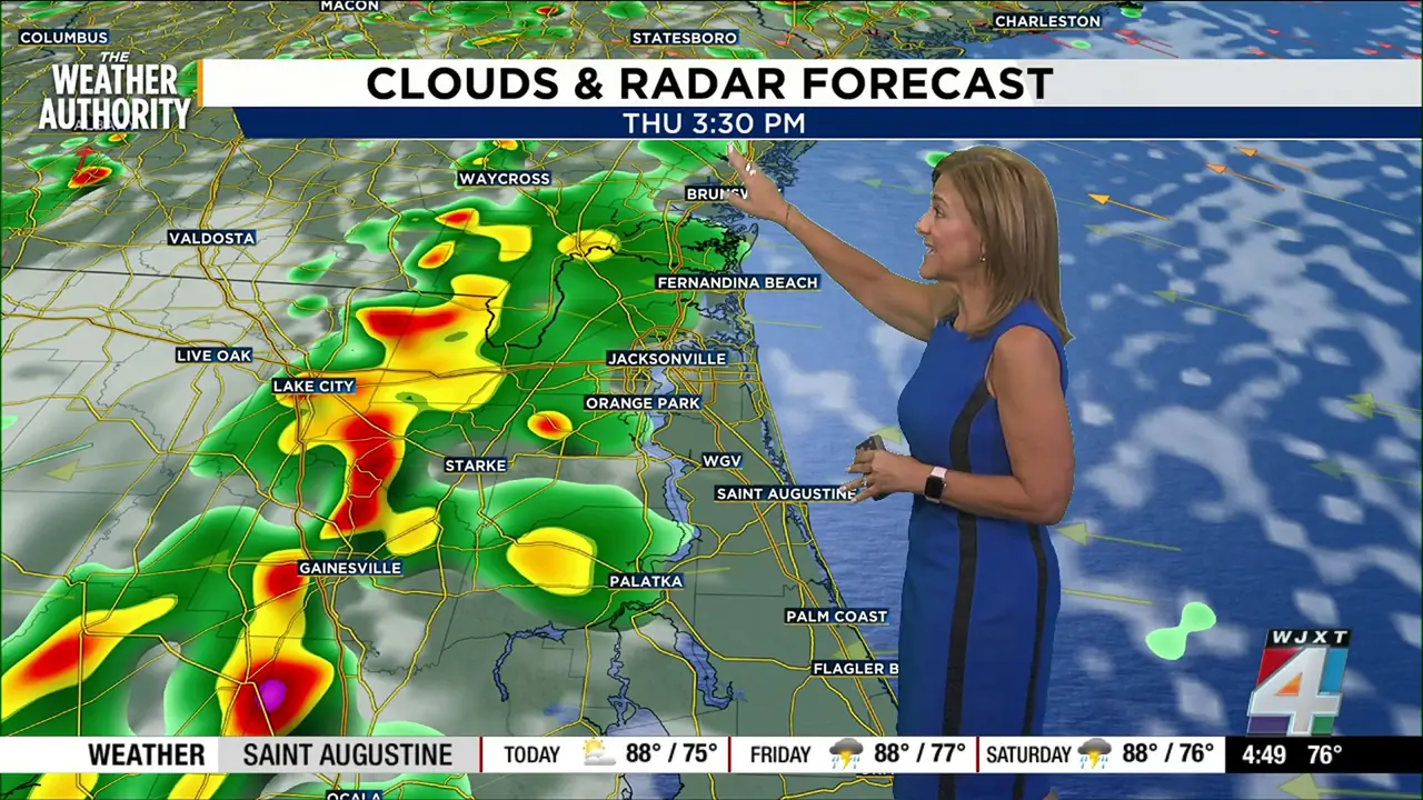
Afternoon thunderstorms to impact areas mostly west of I-95 in Northeast Florida, Southeast Georgia
Read full article: Afternoon thunderstorms to impact areas mostly west of I-95 in Northeast Florida, Southeast GeorgiaSea breeze storms will develop today as the southerly winds turn easterly, pushing into the west coast sea breeze near US 301.